Loading...
Loading map...2022 Map of Christie
USGS Topo · Published 2022About this map
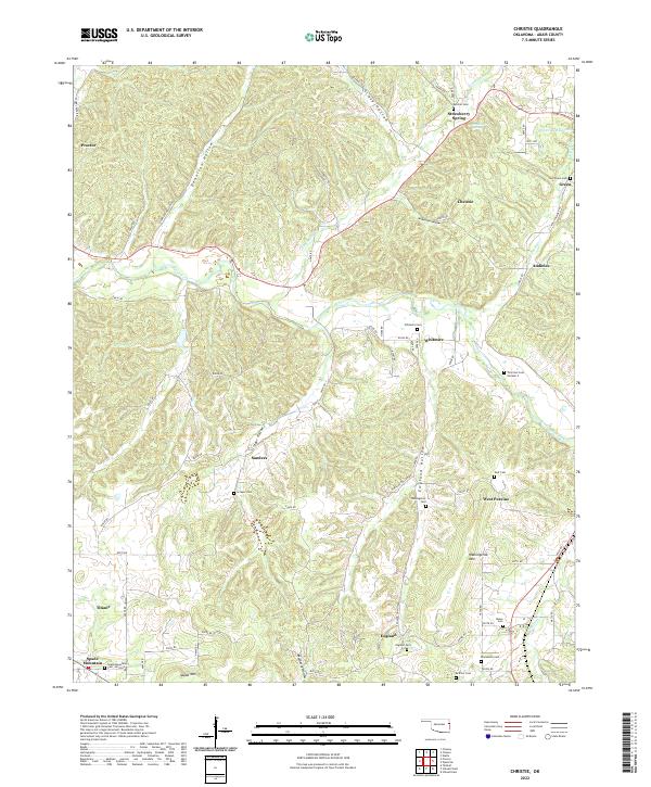
Baron Fork cuts through the center of this Ozark plateau landscape, defining the topography of Adair County where small settlements and family burial grounds are tucked into narrow hollows. The area around Christie and Whitmire reveals a traditional upland settlement pattern, with numerous named cemeteries like Whitmire Cem and Thornton Cem Number 2 serving local communities.
Find a feature on this map
98 named features on this map. Tap any name to fly to it.
Don’t see what you’re looking for? This feature index may not catch every label — zoom into the map to look around manually.
Map Details
Date Portrayed2022
Date Published2022
PublisherU.S. Geological Survey
Map TypeTopographic
Scale1:24000
Physical Dimensions24 x 29 inches
Editions of this 2022 Christie Map
This is the sole edition of this map. No revisions or reprints were ever made.
Historical Maps of England Through Time
Featured Locations
Source Details
SourceU.S. Geological Survey
CopyrightPublic Domain