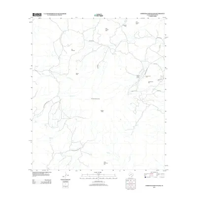
2012 Map of Christmas Mountains
USGS Topo · Published 2012About this map
The Christmas Mountains dominate this Brewster County landscape, an area characterized by isolated peaks and vital water sources in an arid environment. The map highlights the development of the Terlingua Ranch Lodge and its proximity to the Terlingua Ranch Airport, serving as a central hub for this high-desert community. Surrounding this node, a network of ranch roads like Bare Bones Rd and Church Rd connect remote holdings and natural landmarks.
Find a feature on this map
34 named features on this map. Tap any name to fly to it.
Don’t see what you’re looking for? This feature index may not catch every label — zoom into the map to look around manually.
Map Details
Editions of this 2012 Christmas Mountains Map
This is the sole edition of this map. No revisions or reprints were ever made.
Other maps of this area

1903 · Chisos Mountains
USGS Topo · 1:125,000

1903 · Terlingua
USGS Topo · 1:125,000

1904 · Terlingua
USGS Topo · 1:125,000

1905 · Chisos Mountains
USGS Topo · 1:125,000

1917 · Agua Fria
USGS Topo · 1:62,500

1918 · Bone Spring
USGS Topo · 1:125,000

1918 · Nine Point Mesa
USGS Topo · 1:62,500

1937 · Nine Point Mesa
USGS Topo · 1:62,500

1937 · Agua Fria
USGS Topo · 1:62,500

1959 · Emory Peak
USGS Topo · 1:250,000