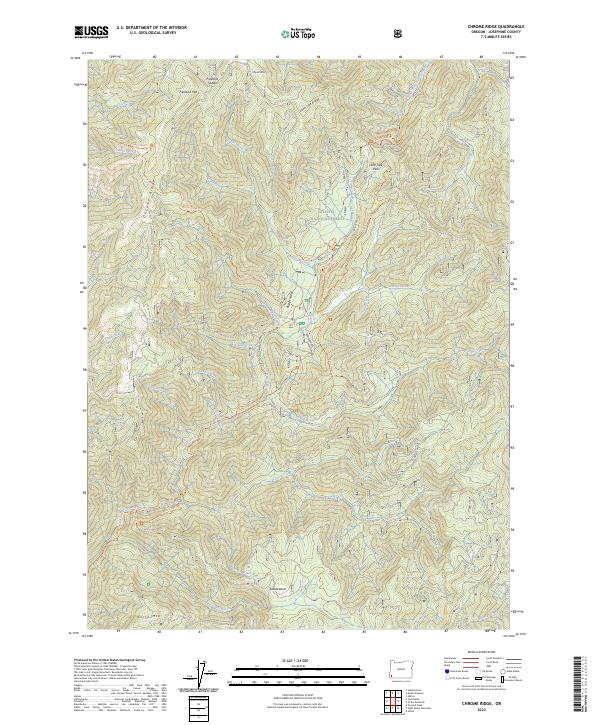
2023 Map of Chrome Ridge
USGS Topo · Published 2023About this map
Siskiyou National Forest encompasses the high-elevation terrain of this southern Oregon quadrangle, where a complex network of ridges and drainages defines the local geography. Significant landmarks include the eponymous Chrome Ridge and the prominent Onion Mountain, while the lowlands are dominated by the broad reach of Briggs Valley. The area is characterized by a series of named trails and remote routes, such as the Elkhorn Mine Jeep Trl and Taylor Camp Trl, reflecting a history of resource extraction and backcountry access. These pathways follow the contours of the landscape near Briggs Creek and Taylor Creek, connecting sites like Swede Basin and Freeland Saddle. The detailed drainage patterns, including Lake Creek and Secret Creek, illustrate the complex hydrology of these mountains, while the inclusion of the Dutchy Creek Trl provides specific points of interest for researchers tracking historical movement through the Siskiyou range.
Find a feature on this map
46 named features on this map. Tap any name to fly to it.
Don’t see what you’re looking for? This feature index may not catch every label — zoom into the map to look around manually.
Map Details
Editions of this 2023 Chrome Ridge Map
This is the sole edition of this map. No revisions or reprints were ever made.
Other maps of this area

1917 · Kerby
USGS Topo · 1:125,000

1918 · Kerby
USGS Topo · 1:125,000

1945 · Kerby
USGS Topo · 1:125,000

1946 · Galice
USGS Topo · 1:62,500

1948 · Galice
USGS Topo · 1:62,500

1954 · Marial
USGS Topo · 1:62,500

1954 · Selma
USGS Topo · 1:62,500

1954 · Pearsoll Peak
USGS Topo · 1:62,500

1955 · Medford
USGS Topo · 1:250,000

1957 · Medford
USGS Topo · 1:250,000