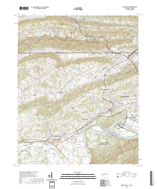
2022 Map of Church Hill
USGS Topo · Published 2022About this map
Church Hill sits as a primary anchor along the Holston River in this modern survey of East Tennessee, where the landscape transitions from the river's shoals to the ridgelines of the Appalachian Valley and Ridge province. The river's historical importance is evident in the naming of riverine features such as Howards Shoals, Alexanders Shoals, and Darnell's Landings. Inland, the map reveals a dense network of family-named landmarks and small settlements like Block City and Green Village. The northern portion of the quadrangle is defined by a series of parallel ridges and valleys including Stanley Valley and Carter Valley, which are dotted with numerous small family burial grounds like Monroe Cem and Bussell Cem. The proximity of industrial centers is marked by the western edge of Kingsport, illustrating the continued expansion of suburban development into traditional agricultural and river land.
Find a feature on this map
111 named features on this map. Tap any name to fly to it.
Don’t see what you’re looking for? This feature index may not catch every label — zoom into the map to look around manually.
Map Details
Editions of this 2022 Church Hill Map
This is the sole edition of this map. No revisions or reprints were ever made.
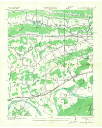
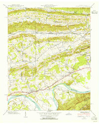
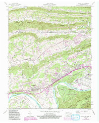
Historical Maps of Frisco Through Time
4 maps found