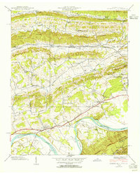
1939 Map of Church Hill
USGS Topo · Published 1954About this map
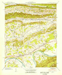
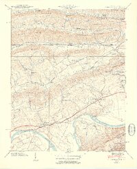
Church Hill and the winding course of the Holston River dominate this 1939 survey, capturing a rural landscape defined by narrow valleys and prominent ridges. The geography is structured by the Clinch Mtn and Bays Mts, with small agricultural settlements like Stanley and Marshall tucked between the peaks. The area's early 20th-century transport and industry are evident in the path of the Clinchfield and Southern railroads, including the engineered Click Tunnel through Sensabaugh Ridge.
Find a feature on this map
91 named features on this map. Tap any name to fly to it.
Don’t see what you’re looking for? This feature index may not catch every label — zoom into the map to look around manually.
Map Details
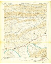
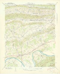
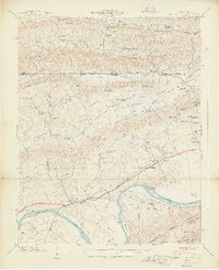
Editions of this 1939 Church Hill Map
6 editions found
Other maps of this area

1892 · Greeneville
USGS Topo · 1:125,000

1894 · Estillville
USGS Topo · 1:125,000

1896 · Greeneville
USGS Topo · 1:125,000

1904 · Greeneville
USGS Topo · 1:125,000

1935 · Surgoinsville
USGS Topo · 1:48,000

1935 · Lovelace
USGS Topo · 1:24,000

1935 · Sullivan Gardens
USGS Topo · 1:24,000

1935 · Moggasin
USGS Topo · 1:48,000

1935 · Kingsport
USGS Topo · 1:24,000

1935 · Clinchport
USGS Topo · 1:24,000