Loading...
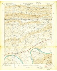
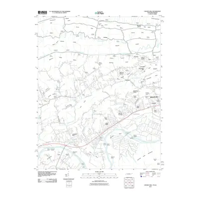
Loading map...1939 Map of Church Hill
USGS Topo · Published 1939About this map
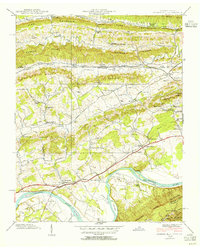
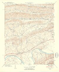
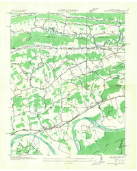
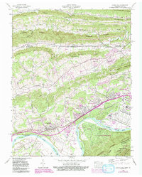
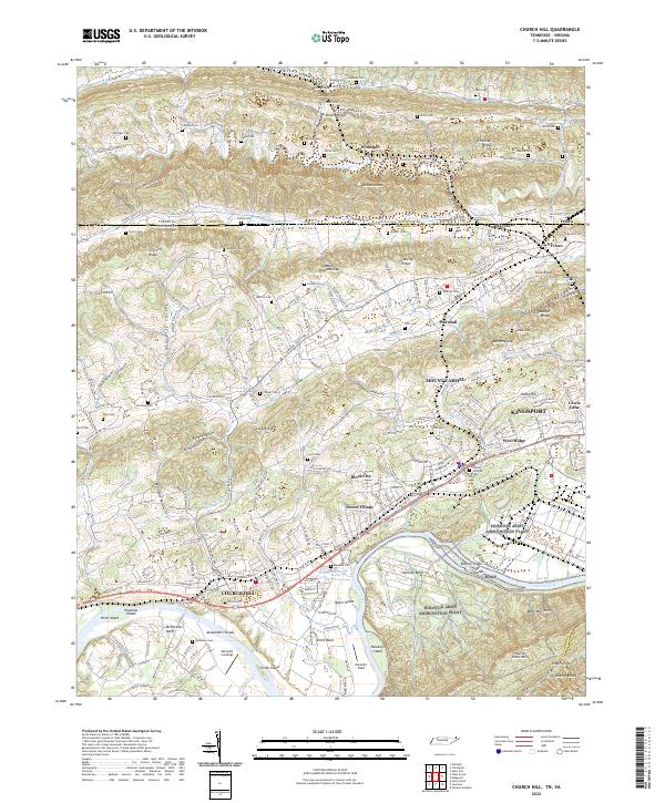
The Holston River carves a deep loop at Solitude Bend, anchoring this 1939 survey of the Tennessee-Virginia borderlands. The landscape is defined by the sharp parallel ridges of Poor Valley Mountain and Gravelly Ridge, where rural life is marked by small schoolhouses like Kermit Sch and Grange Hall Sch. The economic life of the era is visible in the corridor of the Lee Highway and the Southern railroad, which connect Church Hill to outlying settlements such as Marshall and Frisco.
Find a feature on this map
105 named features on this map. Tap any name to fly to it.
Don’t see what you’re looking for? This feature index may not catch every label — zoom into the map to look around manually.
Map Details
Date Portrayed1939
Date Published1939
PublisherU.S. Geological Survey
Map TypeTopographic
Scale1:24,000
Physical Dimensions22.01 x 27.42 inches
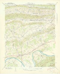
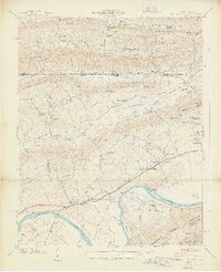
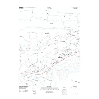
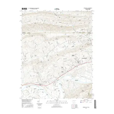
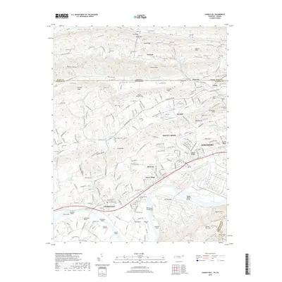
Editions of this 1939 Church Hill Map
6 editions found
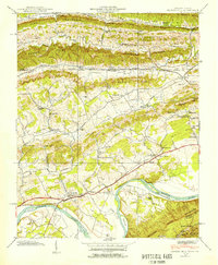
Historical Maps of Kingsport Through Time
8 maps found
Featured Locations
Source Details
SourceU.S. Geological Survey
CopyrightPublic Domain