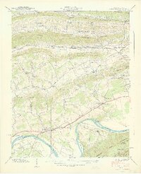
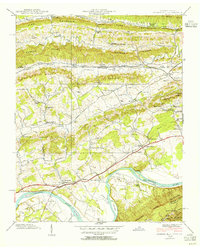
1939 Map of Church Hill
USGS Topo · Published 1939About this map
The Holston River dominates the southern landscape of this 1939 survey, winding through distinct geographical features like Solitude Bend and McPheeter Bend. The settlement of Church Hill serves as a local hub near the Southern railroad line, while the Lee Highway provides a primary automotive artery across the valley. The map documents a rural society deeply rooted in its local institutions, evidenced by a dense network of country schools and churches such as Liberty Hill Sch, Grange Hall Sch, and Mt Carmel Ch.
Find a feature on this map
85 named features on this map. Tap any name to fly to it.
Don’t see what you’re looking for? This feature index may not catch every label — zoom into the map to look around manually.
Map Details
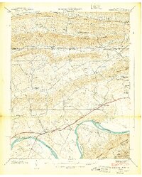
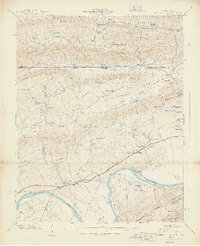
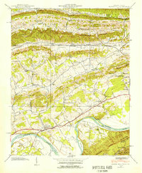
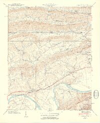
Editions of this 1939 Church Hill Map
6 editions found
Other maps of this area

1892 · Greeneville
USGS Topo · 1:125,000

1894 · Estillville
USGS Topo · 1:125,000

1896 · Greeneville
USGS Topo · 1:125,000

1904 · Greeneville
USGS Topo · 1:125,000

1935 · Surgoinsville
USGS Topo · 1:48,000

1935 · Lovelace
USGS Topo · 1:24,000

1935 · Sullivan Gardens
USGS Topo · 1:24,000

1935 · Moggasin
USGS Topo · 1:48,000

1935 · Kingsport
USGS Topo · 1:24,000

1935 · Clinchport
USGS Topo · 1:24,000