
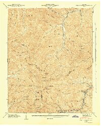
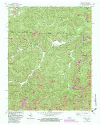
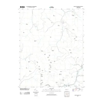
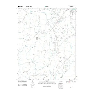
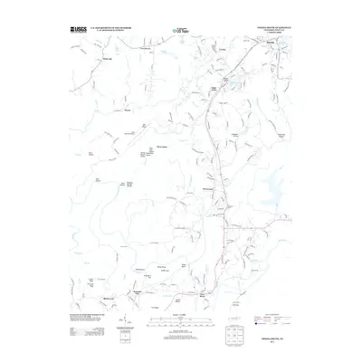
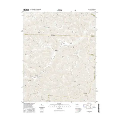
1935 Map of Moggasin
USGS Topo · Published 1935About this map
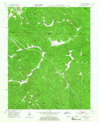
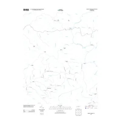
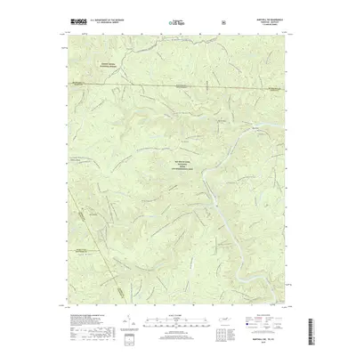
Gate City and Kingsport serve as the primary hubs in this 1935 survey of the Virginia-Tennessee borderlands. The landscape is defined by the parallel ridges of Copper Ridge and Moccasin Ridge, with the Clinch River and Holston River cutting through the valleys. The industrial footprint of the era is evident at the Moccasin Creek Power Plant and numerous local milling operations such as Donald Mill and Fugate Mill. Local transportation centers on the Southern Railway and the historic Lee Highway, which facilitate movement between rural schools and churches. Genealogists will find many family-named landmarks and institutions, including the Rye Cove Memorial Sch, Wolfe Cem, and Starnes Bluff Ch. The map captures a moment before modern infrastructure altered the rural character of communities like Clinchport and Church Hill.
Find a feature on this map
66 named features on this map. Tap any name to fly to it.
Don’t see what you’re looking for? This feature index may not catch every label — zoom into the map to look around manually.
Map Details
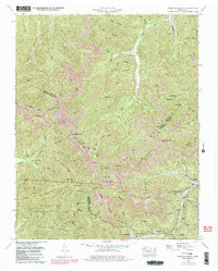
Editions of this 1935 Moggasin Map
This is the sole edition of this map. No revisions or reprints were ever made.
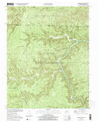
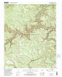
Historical Maps of Kingsport Through Time
49 maps found

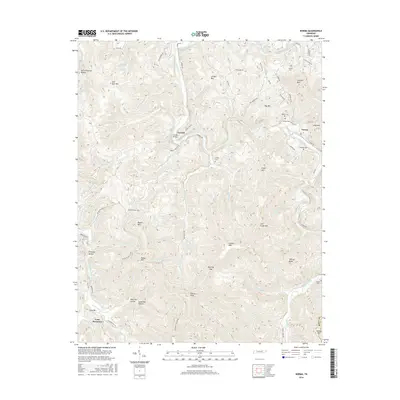
1935 Mages
Scott County, TN
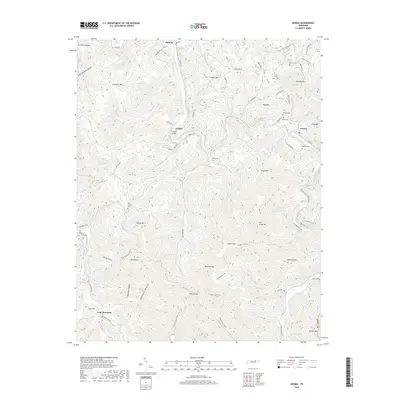
1935 Moggasin
Scott County, TN

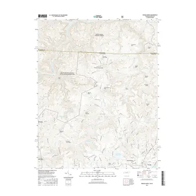
1936 Hogbell Gap
Scott County, TN
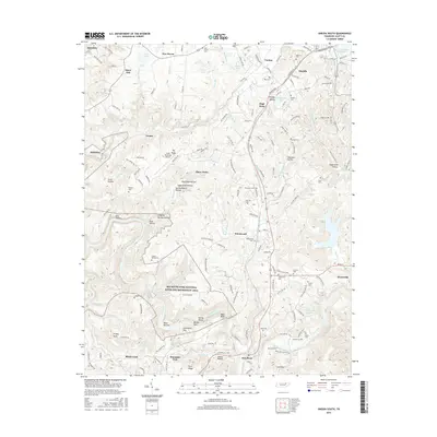
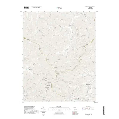
1946 Fork Mountain
Scott County, TN
1952 Fork Mountain
Scott County, TN
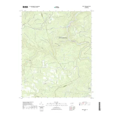
1952 Honey Creek
Scott County, TN
1952 Oneida South
Scott County, TN
1953 Ketchen
Scott County, TN
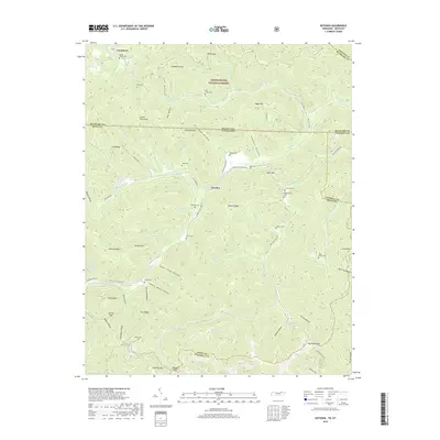
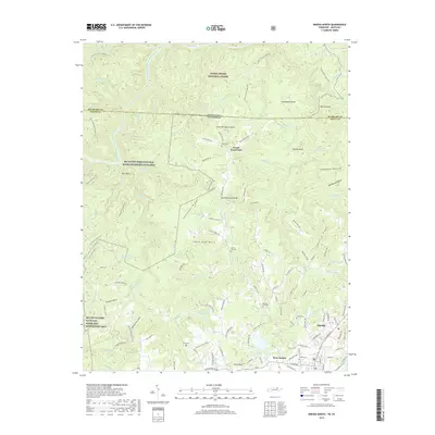
1954 Norma
Scott County, TN
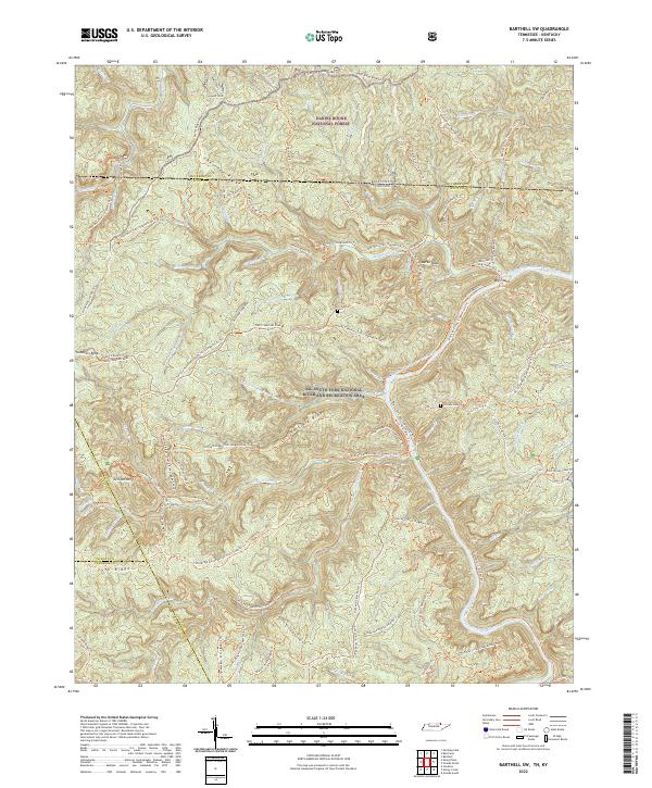
1955 Barthell SW
Scott County, TN
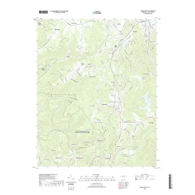
1955 Oneida North
Scott County, TN
1980 Ketchen
Scott County, TN
2000 Barthell SW
Scott County, TN
2000 Honey Creek
Scott County, TN
2010 Barthell SW
Scott County, TN
2010 Fork Mountain
Scott County, TN
2010 Honey Creek
Scott County, TN
2010 Ketchen
Scott County, TN
2010 Norma
Scott County, TN
2010 Oneida South
Scott County, TN
2011 Oneida North
Scott County, TN
2013 Barthell SW
Scott County, TN
2013 Fork Mountain
Scott County, TN
2013 Honey Creek
Scott County, TN
2013 Ketchen
Scott County, TN
2013 Norma
Scott County, TN
2013 Oneida North
Scott County, TN
2013 Oneida South
Scott County, TN
2016 Barthell SW
Scott County, TN
2016 Fork Mountain
Scott County, TN
2016 Honey Creek
Scott County, TN
2016 Ketchen
Scott County, TN
2016 Norma
Scott County, TN
2016 Oneida North
Scott County, TN
2016 Oneida South
Scott County, TN
2019 Barthell SW
Scott County, TN
2019 Fork Mountain
Scott County, TN
2019 Honey Creek
Scott County, TN
2019 Ketchen
Scott County, TN
2019 Norma
Scott County, TN
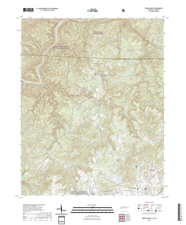
2019 Oneida North
Scott County, TN
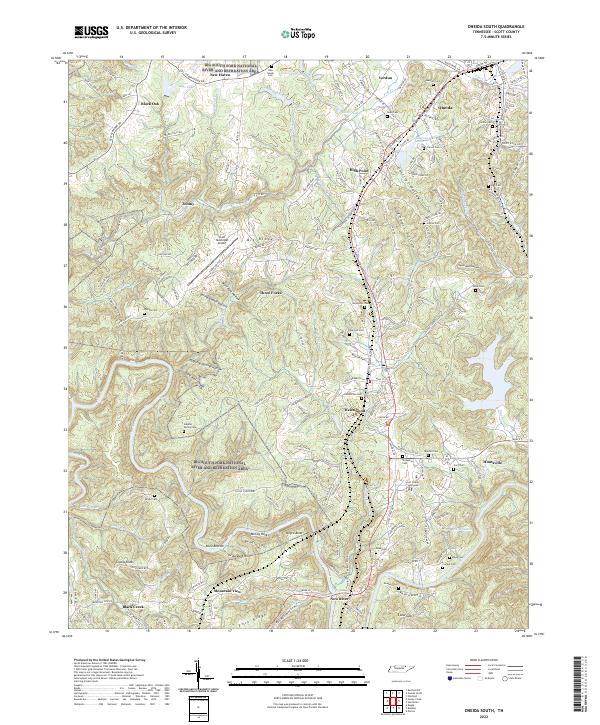
2019 Oneida South
Scott County, TN
2022 Barthell SW
Scott County, TN
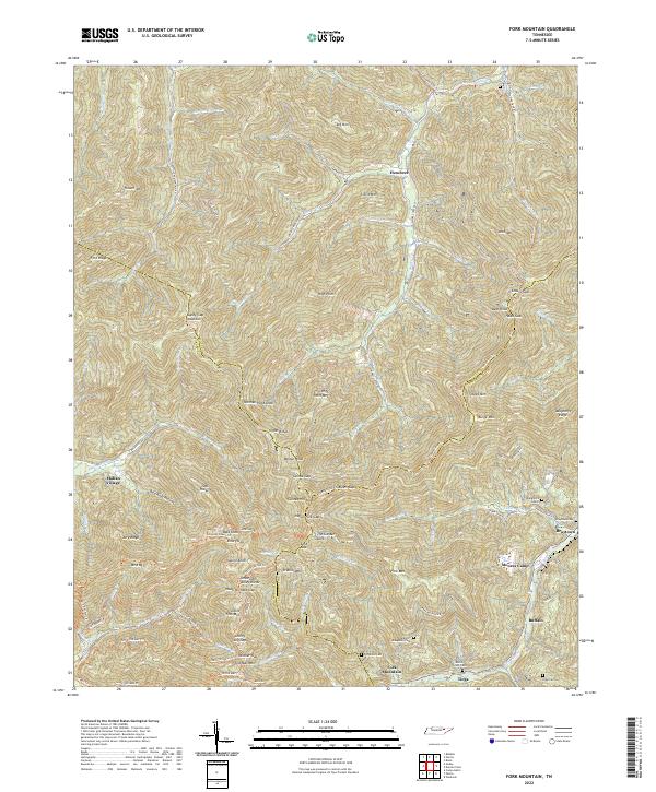
2022 Fork Mountain
Scott County, TN
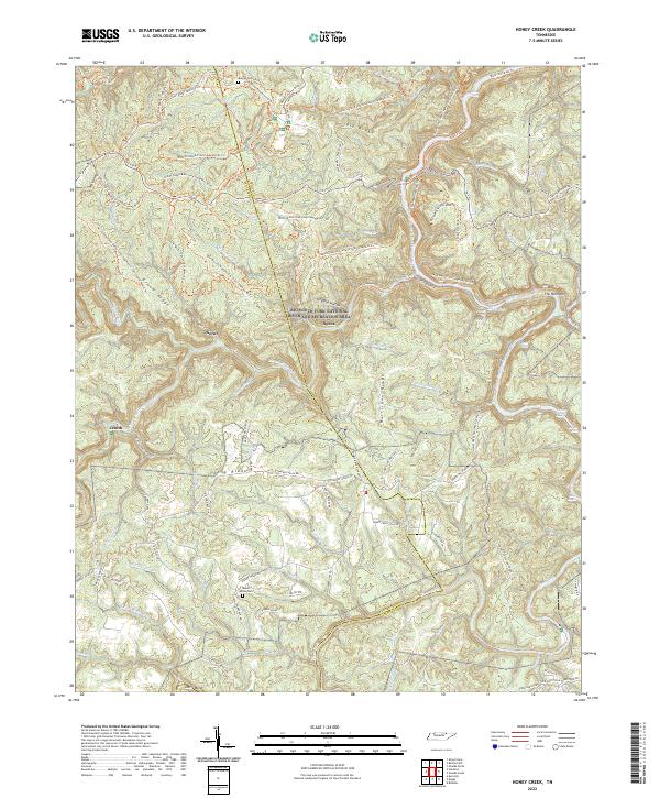
2022 Honey Creek
Scott County, TN
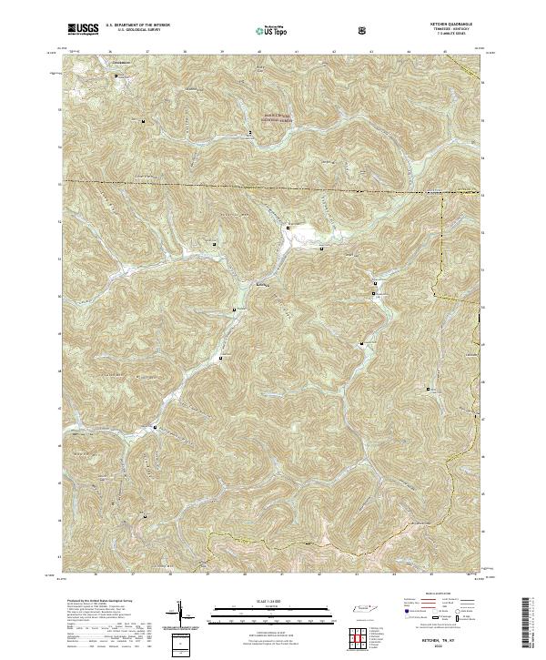
2022 Ketchen
Scott County, TN
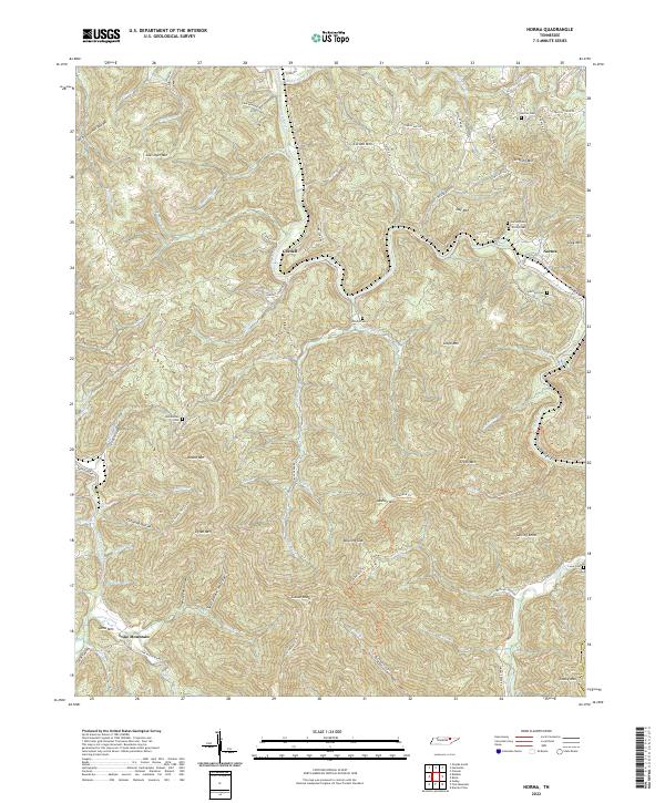
2022 Norma
Scott County, TN
2022 Oneida North
Scott County, TN
2022 Oneida South
Scott County, TN