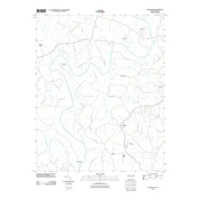
2010 Map of Churchland
USGS Topo · Published 2010About this map
The Yadkin River and South Yadkin River converge in this part of Davidson County, shaping a landscape defined by significant watercourse bends like Horseshoe Neck. Small rural communities and historic crossroads serve as the primary anchors for the area, including Churchland, Petersville, and Martins Store. The network of local roads often bears the names of established families, such as Roy Hartley Rd and TP Sowers Rd, indicating deep-rooted land ownership patterns.
Find a feature on this map
74 named features on this map. Tap any name to fly to it.
Don’t see what you’re looking for? This feature index may not catch every label — zoom into the map to look around manually.
Map Details
Editions of this 2010 Churchland Map
This is the sole edition of this map. No revisions or reprints were ever made.
Other maps of this area

1893 · Statesville
USGS Topo · 1:125,000

1950 · Lexington West
USGS Topo · 1:24,000

1950 · Churchland
USGS Topo · 1:24,000

1951 · Churchland
USGS Topo · 1:24,000

1951 · Lexington West
USGS Topo · 1:24,000

1953 · Charlotte
USGS Topo · 1:250,000

1954 · Charlotte
USGS Topo · 1:250,000

1960 · Charlotte
USGS Topo · 1:250,000

1962 · Charlotte
USGS Topo · 1:250,000

1962 · Southmont
USGS Topo · 1:24,000