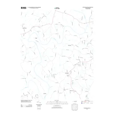
2013 Map of Churchland
USGS Topo · Published 2013About this map
The Yadkin River defines the winding geography of this region, creating the dramatic bend known as Horseshoe Neck near the center of the survey. This 2013 landscape is characterized by a network of rural settlements and small airstrips, reflecting a community where aviation and agriculture intersect. Small fields and residential clusters like Churchland, Petersville, and Jubilee are connected by a web of local roads, many bearing family names that hint at the area's genealogical depth. Numerous creeks, including Dutchman Cr and S Potts Cr, drain into the main river channel, while aviation hubs like Morrison Field Airport and Flying M Airport point to the area's modern connectivity. The presence of Cedar Grove Church Rd and Martins Store suggests the traditional social and commercial anchors that have long supported these Piedmont communities.
Find a feature on this map
147 named features on this map. Tap any name to fly to it.
Don’t see what you’re looking for? This feature index may not catch every label — zoom into the map to look around manually.
Map Details
Editions of this 2013 Churchland Map
This is the sole edition of this map. No revisions or reprints were ever made.
Other maps of this area

1893 · Statesville
USGS Topo · 1:125,000

1950 · Lexington West
USGS Topo · 1:24,000

1950 · Churchland
USGS Topo · 1:24,000

1951 · Churchland
USGS Topo · 1:24,000

1951 · Lexington West
USGS Topo · 1:24,000

1953 · Charlotte
USGS Topo · 1:250,000

1954 · Charlotte
USGS Topo · 1:250,000

1960 · Charlotte
USGS Topo · 1:250,000

1962 · Charlotte
USGS Topo · 1:250,000

1962 · Southmont
USGS Topo · 1:24,000