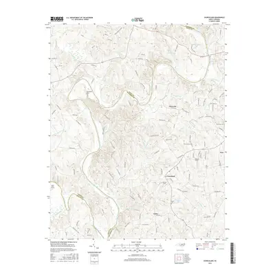
2016 Map of Churchland
USGS Topo · Published 2016About this map
The Yadkin River and South Yadkin River converge in this section of central North Carolina, creating a landscape defined by dramatic meanders such as Horseshoe Neck. Small rural communities including Churchland, Petersville, Jubilee, and Tyro are scattered across the terrain, linked by a network of country roads named for local families, such as Peter Hairston Rd and Troy McElrath Rd.
Find a feature on this map
120 named features on this map. Tap any name to fly to it.
Don’t see what you’re looking for? This feature index may not catch every label — zoom into the map to look around manually.
Map Details
Editions of this 2016 Churchland Map
This is the sole edition of this map. No revisions or reprints were ever made.
Other maps of this area

1893 · Statesville
USGS Topo · 1:125,000

1950 · Lexington West
USGS Topo · 1:24,000

1950 · Churchland
USGS Topo · 1:24,000

1951 · Churchland
USGS Topo · 1:24,000

1951 · Lexington West
USGS Topo · 1:24,000

1953 · Charlotte
USGS Topo · 1:250,000

1954 · Charlotte
USGS Topo · 1:250,000

1960 · Charlotte
USGS Topo · 1:250,000

1962 · Charlotte
USGS Topo · 1:250,000

1962 · Southmont
USGS Topo · 1:24,000