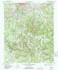
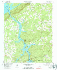
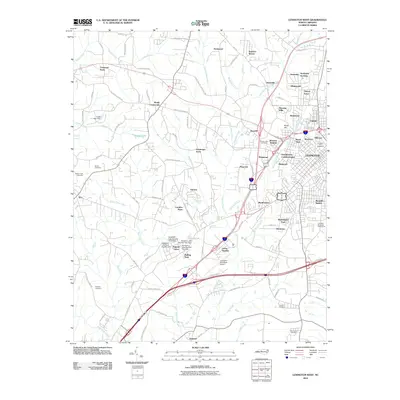
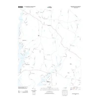
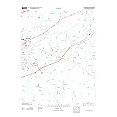
1950 Map of Churchland
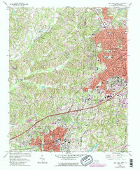
USGS Topo · Published 1987About this map
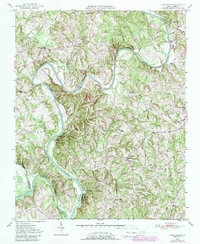
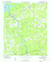
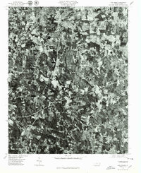
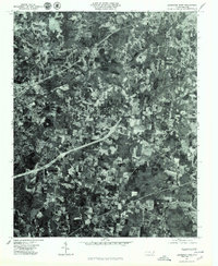
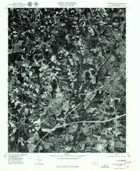
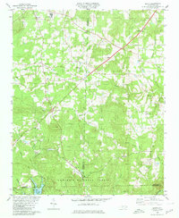
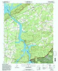
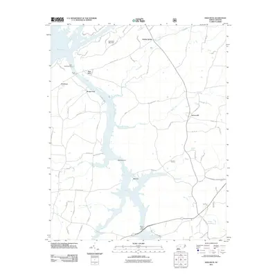
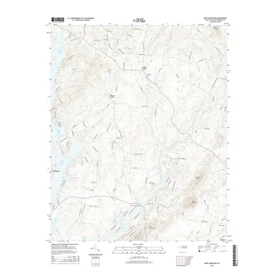
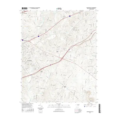
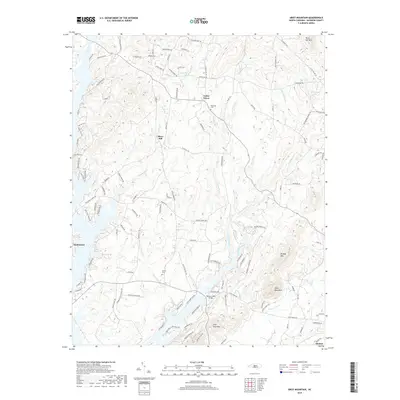
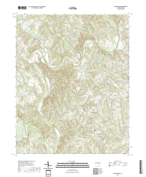
The Yadkin River defines the landscape of this mid-century Piedmont survey, carving a dramatic loop around Horseshoe Neck as it separates the rolling uplands of Davidson, Davie, and Rowan counties. The settlement pattern is deeply rooted in local congregations and rural schoolhouses, with communities like Churchland and Tyro serving as central hubs for the surrounding farmsteads. Genealogical researchers will find significant value in the documented locations of the Yadkin Star Ch Cem and Petersville Cem, which alongside smaller churches like Cedar Grove Ch and Crossroads Ch, indicate long-standing family ties to these specific ridges and creek bottoms.
Find a feature on this map
31 named features on this map. Tap any name to fly to it.
Don’t see what you’re looking for? This feature index may not catch every label — zoom into the map to look around manually.
Map Details
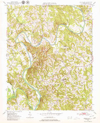
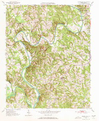
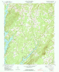
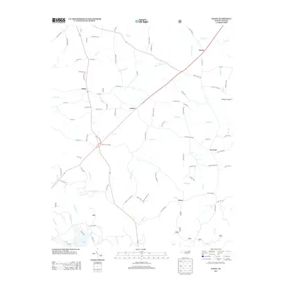
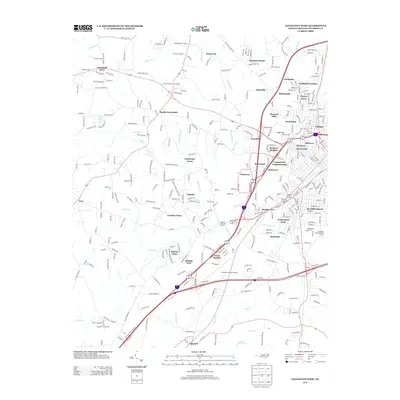
Editions of this 1950 Churchland Map
3 editions found
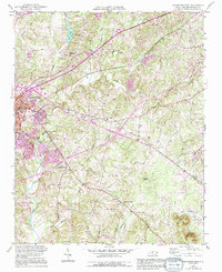
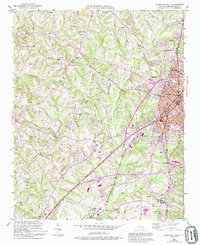
Historical Maps of Martins Store Through Time
66 maps found

1949 Denton NW
Davidson County, NC
1949 Eller
Davidson County, NC
1949 High Point West
Davidson County, NC
1949 High Rock
Davidson County, NC
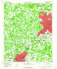
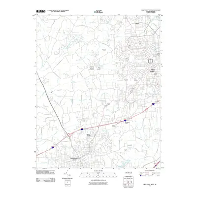
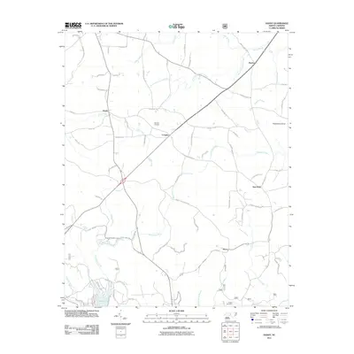
1950 Churchland
Davidson County, NC
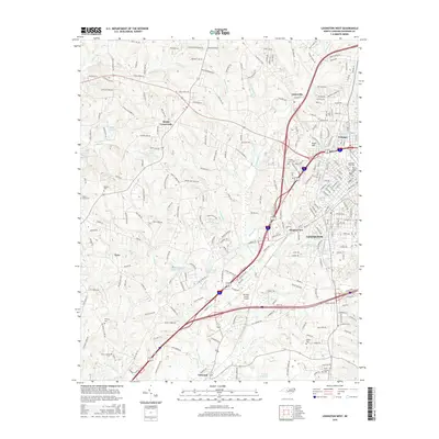
1950 Lexington East
Davidson County, NC
1950 Lexington West
Davidson County, NC

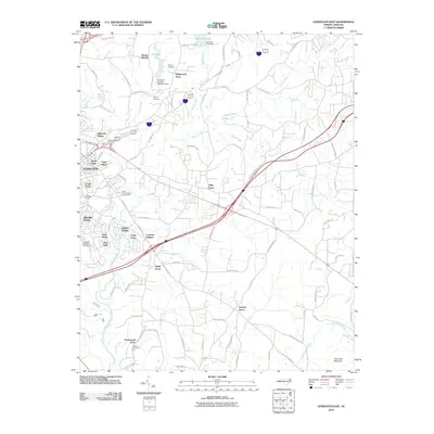
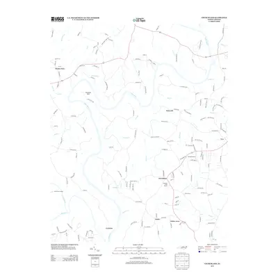
1951 Churchland
Davidson County, NC
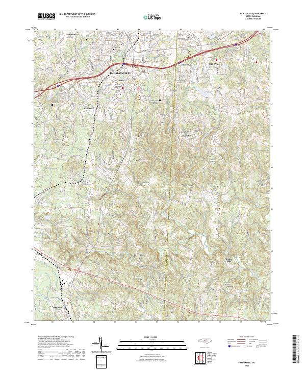
1951 Fair Grove
Davidson County, NC

1951 Lexington East
Davidson County, NC

1951 Lexington West
Davidson County, NC
1969 High Point West
Davidson County, NC
1977 Churchland
Davidson County, NC
1977 Denton NW
Davidson County, NC
1977 Fair Grove
Davidson County, NC

1977 High Point West
Davidson County, NC

1977 High Rock
Davidson County, NC
1977 Lexington East
Davidson County, NC
1977 Lexington West
Davidson County, NC
1980 Handy
Davidson County, NC
1980 High Rock
Davidson County, NC
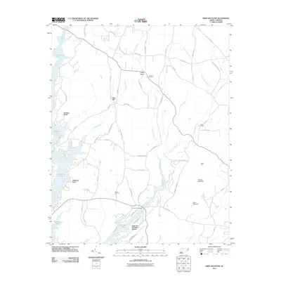
1981 Grist Mountain
Davidson County, NC
1993 High Point West
Davidson County, NC
1994 Handy
Davidson County, NC
1994 High Rock
Davidson County, NC
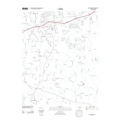
2000 Churchland
Davidson County, NC
2010 Churchland
Davidson County, NC
2010 Fair Grove
Davidson County, NC
2010 High Point West
Davidson County, NC
2010 Lexington East
Davidson County, NC
2010 Lexington West
Davidson County, NC
2011 Grist Mountain
Davidson County, NC
2011 Handy
Davidson County, NC
2011 High Rock
Davidson County, NC
2013 Churchland
Davidson County, NC
2013 Fair Grove
Davidson County, NC
2013 Grist Mountain
Davidson County, NC
2013 Handy
Davidson County, NC
2013 High Point West
Davidson County, NC
2013 High Rock
Davidson County, NC
2013 Lexington East
Davidson County, NC
2013 Lexington West
Davidson County, NC
2016 Churchland
Davidson County, NC
2016 Fair Grove
Davidson County, NC
2016 Grist Mountain
Davidson County, NC
2016 Handy
Davidson County, NC
2016 High Point West
Davidson County, NC
2016 High Rock
Davidson County, NC
2016 Lexington East
Davidson County, NC
2016 Lexington West
Davidson County, NC
2019 Churchland
Davidson County, NC
2019 Fair Grove
Davidson County, NC
2019 Grist Mountain
Davidson County, NC
2019 Handy
Davidson County, NC
2019 High Point West
Davidson County, NC
2019 High Rock
Davidson County, NC
2019 Lexington East
Davidson County, NC
2019 Lexington West
Davidson County, NC
2022 Churchland
Davidson County, NC
2022 Fair Grove
Davidson County, NC
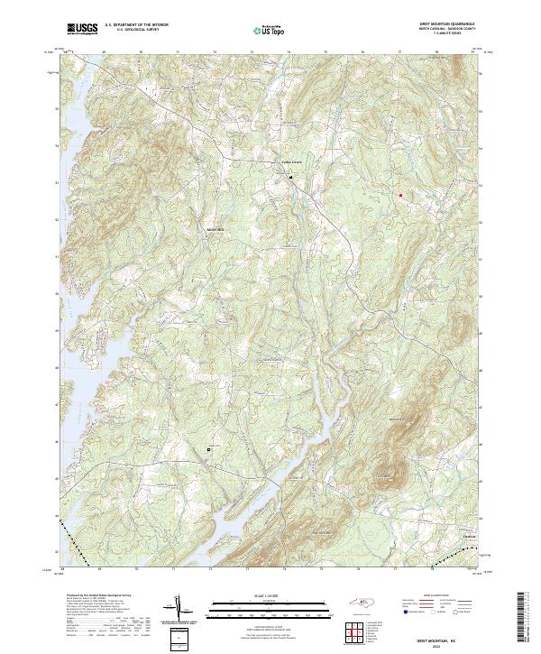
2022 Grist Mountain
Davidson County, NC
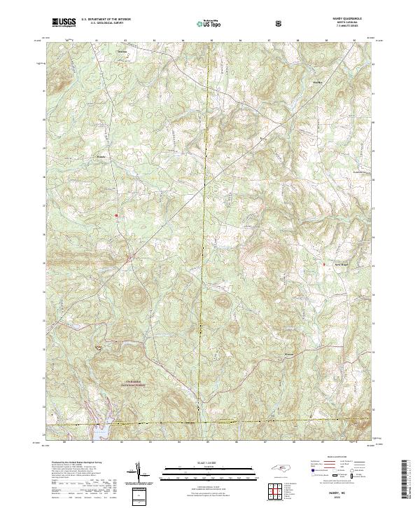
2022 Handy
Davidson County, NC
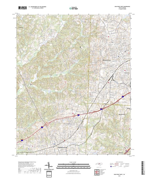
2022 High Point West
Davidson County, NC
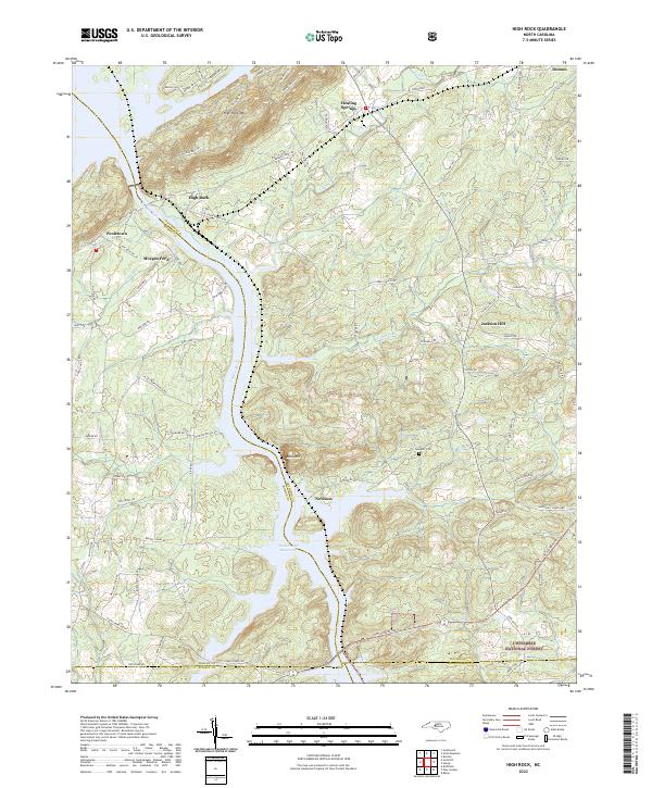
2022 High Rock
Davidson County, NC
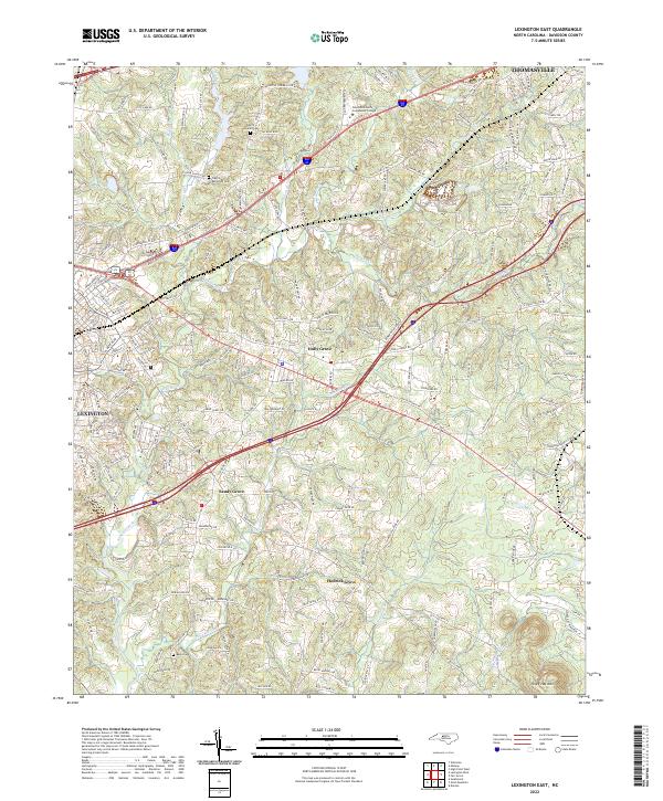
2022 Lexington East
Davidson County, NC
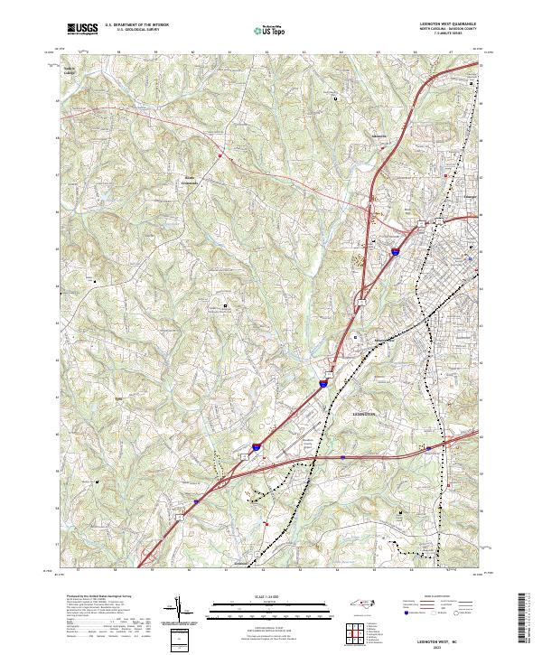
2023 Lexington West
Davidson County, NC