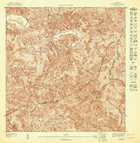
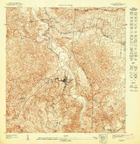
1947 Map of Ciales SE
USGS Topo · Published 1947About this map
The Rio Grande De Manati snakes through this interior landscape of central Puerto Rico, carving deep valleys between prominent peaks like Cerro Avispa and Cerro Mala. Produced just after the war based on 1943 topography, this map records the convergence of several municipal boundaries, including Morovis, Ciales, and Orocovis. The terrain is characterized by a dense network of watercourses, such as Quebrada de las Minas and Quebrada del Guano, which drain the elevated highlands into the main river channel. The topographic detail highlights the complex ridges and basins that defined the rural island interior during this era, revealing the traditional land divisions and municipal limits that remained largely unchanged into the mid-20th century. Local historians and genealogists can trace the intersection of these municipal districts near Cerro Magueyes and along the banks of Quebrada Saco.
Find a feature on this map
10 named features on this map. Tap any name to fly to it.
Don’t see what you’re looking for? This feature index may not catch every label — zoom into the map to look around manually.
Map Details
Editions of this 1947 Ciales SE Map
This is the sole edition of this map. No revisions or reprints were ever made.
Other maps of this area

1946 · Corozal
USGS Topo · 1:30,000

1946 · Barranquitas
USGS Topo · 1:30,000

1946 · Ciales
USGS Topo · 1:30,000

1946 · Orocovis
USGS Topo · 1:30,000

1947 · Corozal SO
USGS Topo · 1:10,000
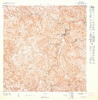
1947 · Orocovis NE
USGS Topo · 1:10,000
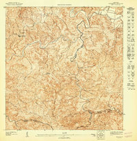
1947 · Ciales SO
USGS Topo · 1:10,000

1947 · Corozal NO
USGS Topo · 1:10,000
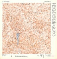
1947 · Orocovis NO
USGS Topo · 1:10,000
1947 · Ciales NO
USGS Topo · 1:10,000