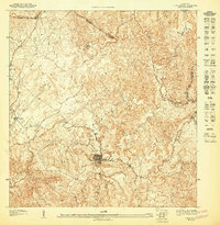
1947 Map of Ciales NE
USGS Topo · Published 1947About this map
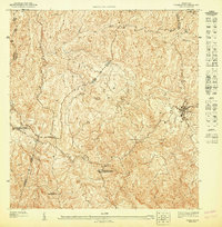
The town of Morovis serves as the central hub of this mid-century topographic study, which illustrates the complex relief and drainage patterns of the region. The landscape is defined by the winding paths of the Rio Morovis and Rio Indio, which cut through the steep terrain alongside numerous smaller streams like Quebrada Grande and Quebrada Franquez. Local landmarks such as the Iglesia del Niño Jesus and a local Water Tower provide specific points of interest for those tracking historical development within the town center.
Find a feature on this map
16 named features on this map. Tap any name to fly to it.
Don’t see what you’re looking for? This feature index may not catch every label — zoom into the map to look around manually.
Map Details
Editions of this 1947 Ciales NE Map
This is the sole edition of this map. No revisions or reprints were ever made.
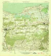
Other maps of this area

1940 · Vega Alta
USGS Topo · 1:30,000

1942 · Manati
USGS Topo · 1:30,000

1946 · Corozal
USGS Topo · 1:30,000

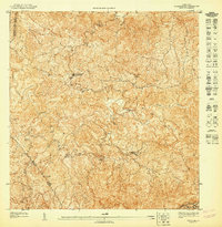
1946 · Ciales
USGS Topo · 1:30,000

1946 · Vega Alta
USGS Topo · 1:30,000
1946 · Manati
USGS Topo · 1:30,000
1947 · Corozal SO
USGS Topo · 1:10,000
1947 · Ciales SO
USGS Topo · 1:10,000
1947 · Corozal NO
USGS Topo · 1:10,000
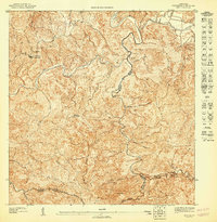
1947 · Ciales NO
USGS Topo · 1:10,000
Featured Places
- Morovis, Morovis
- Sector La Loma de los Castro, Vega Baja
- Sector La Alianza, Morovis
- Sector Pedro Meléndez Sánchez, Morovis
- Morovis