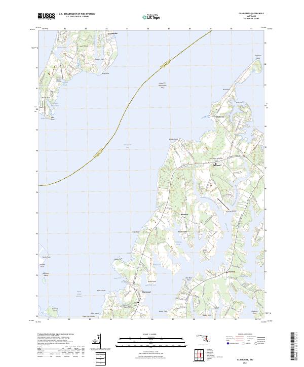
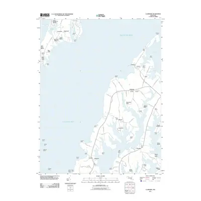
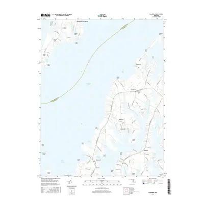
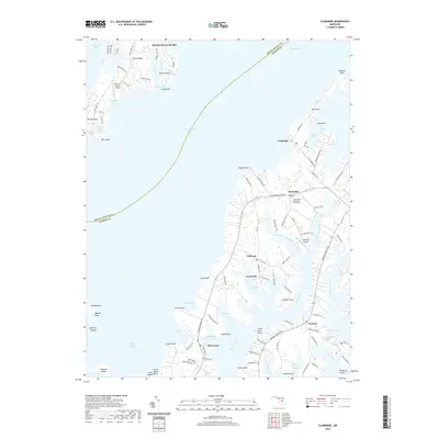
2023 Map of Claiborne
USGS Topo · Published 2023About this map
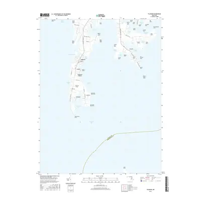
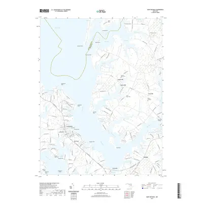
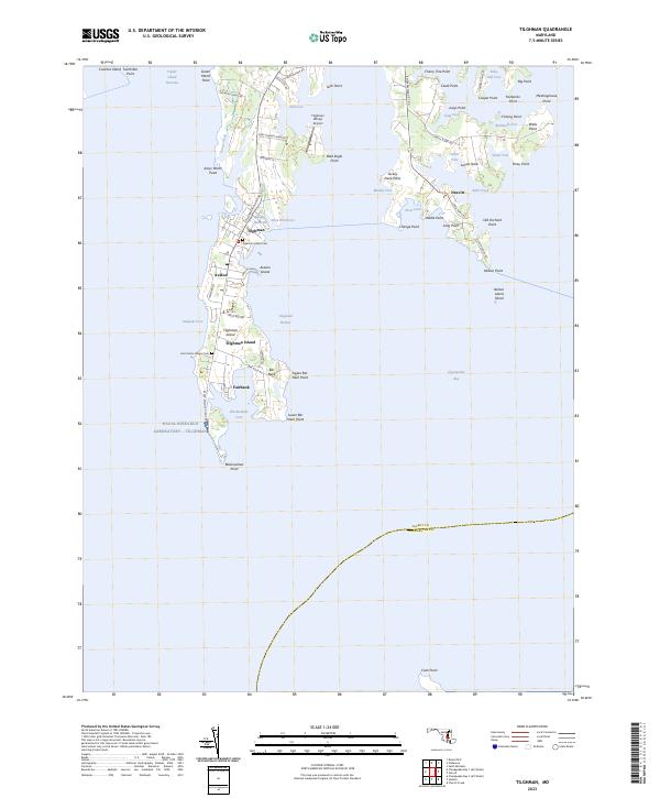
The Claiborne-Romancoke Ferry route spans the open waters of the Chesapeake Bay, connecting the southern tip of Kent Island to the mainland of the Eastern Shore. This maritime corridor defines the region's geography, linking the community of Romancoke with the historic harbor at Claiborne. The landscape is a complex network of necks and points, where small settlements like McDaniel and Sherwood are situated along narrow peninsulas bounded by Harris Creek and Cummings Creek. Local heritage is anchored by landmarks such as the John Wesley Methodist Church and the Saint James Cem near Sherwood. The map captures the intricate shoreline of the Maryland coast, from the sheltered Holligans Snooze Inlet to the exposed reaches of Bloody Point, reflecting a landscape deeply tied to the water.
Find a feature on this map
114 named features on this map. Tap any name to fly to it.
Don’t see what you’re looking for? This feature index may not catch every label — zoom into the map to look around manually.
Map Details
Editions of this 2023 Claiborne Map
This is the sole edition of this map. No revisions or reprints were ever made.
Historical Maps of Claiborne Through Time
25 maps found
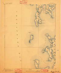
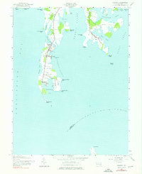
1893 Sharps Island
Talbot County, MD
1904 Sharps Island
Talbot County, MD
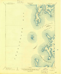
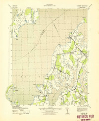
1942 Claiborne
Talbot County, MD
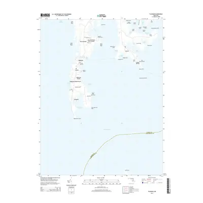
1942 Tilghman
Talbot County, MD
1943 Claiborne
Talbot County, MD
1988 Tilghman
Talbot County, MD
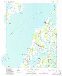
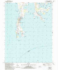
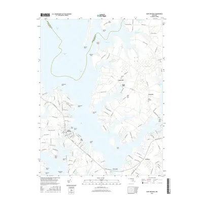
2011 Claiborne
Talbot County, MD
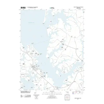
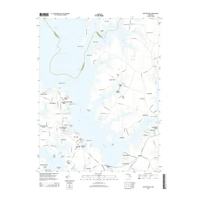
2011 Saint Michaels
Talbot County, MD
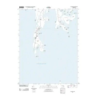
2011 Tilghman
Talbot County, MD
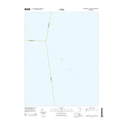
2014 Chesapeake Bay 1 (All Water)
Talbot County, MD
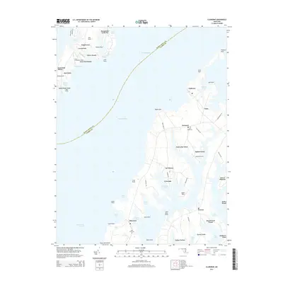
2014 Claiborne
Talbot County, MD
2014 Saint Michaels
Talbot County, MD
2014 Tilghman
Talbot County, MD
2016 Claiborne
Talbot County, MD
2016 Saint Michaels
Talbot County, MD
2016 Tilghman
Talbot County, MD
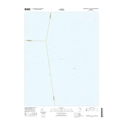
2017 Chesapeake Bay 1 (All Water)
Talbot County, MD
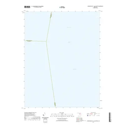
2019 Chesapeake Bay 1 (All Water)
Talbot County, MD
2019 Claiborne
Talbot County, MD
2019 Saint Michaels
Talbot County, MD
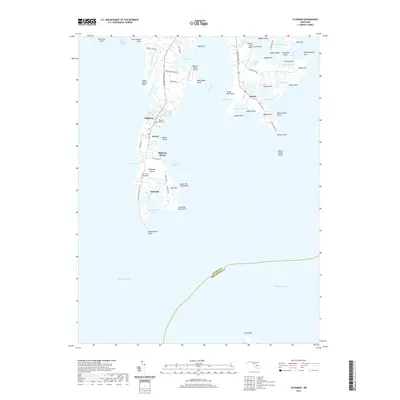
2019 Tilghman
Talbot County, MD
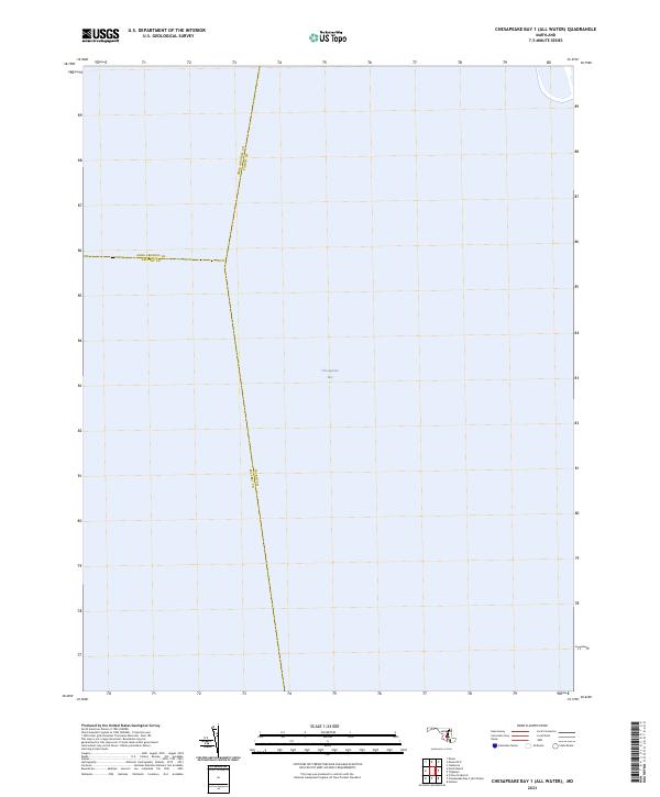
2023 Chesapeake Bay 1 (All Water)
Talbot County, MD
2023 Claiborne
Talbot County, MD
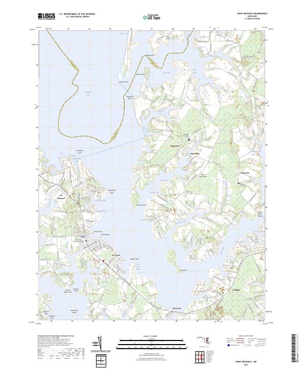
2023 Saint Michaels
Talbot County, MD
2023 Tilghman
Talbot County, MD