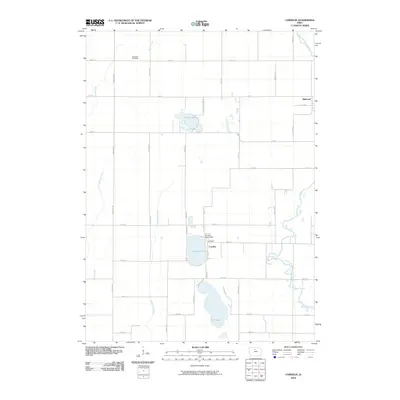
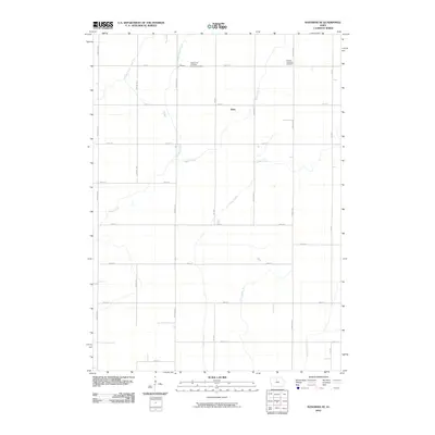
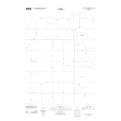
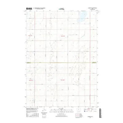
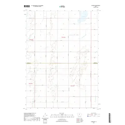
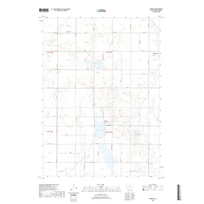
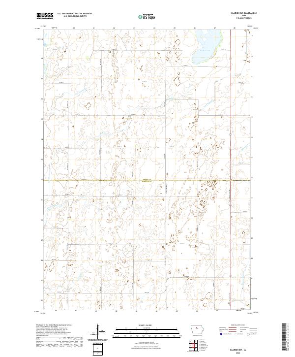
1978 Map of Clarion SW
USGS Topo · Published 1979About this map
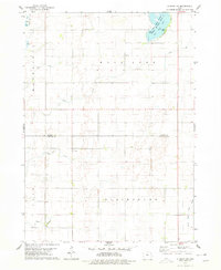
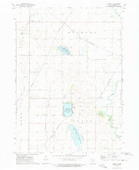
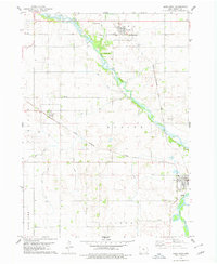
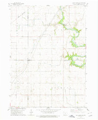
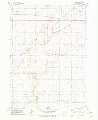
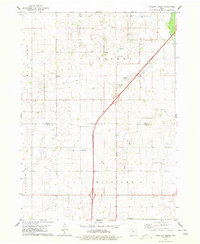
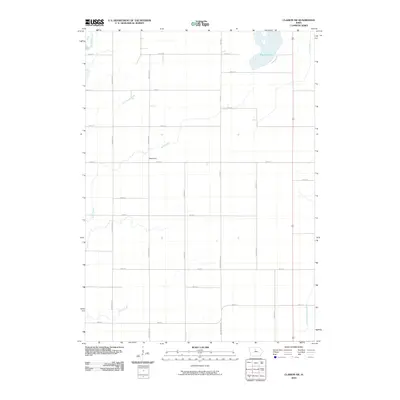
Big Wall Lake State Public Hunting Area dominates the northeast corner of this central Iowa landscape, where the prairie begins its transition toward the South Fork Iowa River drainage. In the late 1970s, this area of Wright and Hamilton Counties was defined by an extensive network of drainage improvements, including Ditch No 149 and Ditch No 144, which transformed the glacial wetlands into productive agricultural territory. The map captures local landmarks of rural civic life, such as the Townhall and the United Ch, while tracing the meandering paths of White Fox Creek and Lyons Creek. Scattered Gravel Pits indicate local resource extraction amidst the section-line roads and farmstead distributions characteristic of the region's mid-century rural development.
Find a feature on this map
19 named features on this map. Tap any name to fly to it.
Don’t see what you’re looking for? This feature index may not catch every label — zoom into the map to look around manually.
Map Details
Editions of this 1978 Clarion SW Map
This is the sole edition of this map. No revisions or reprints were ever made.
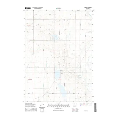
Historical Maps of Blairsburg Township Through Time
42 maps found
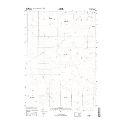
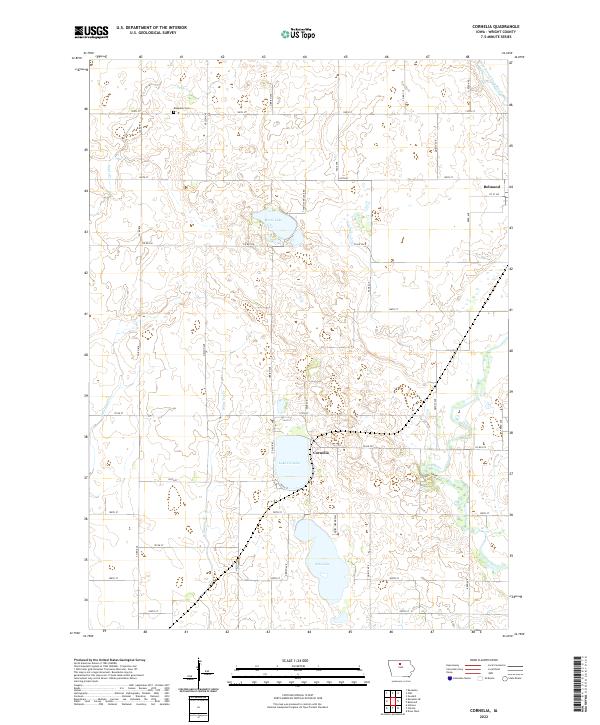
1972 Cornelia
Wright County, IA
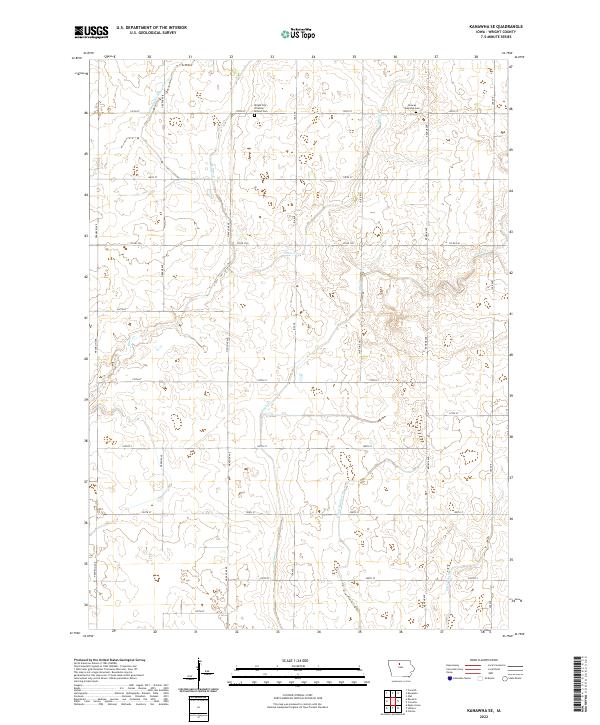
1972 Kanawha SE
Wright County, IA
1978 Clarion SW
Wright County, IA
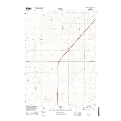
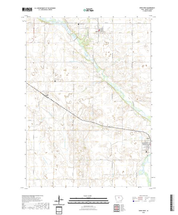
1978 Dows West
Wright County, IA
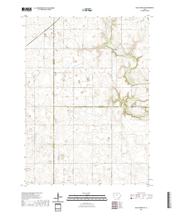
1978 Eagle Grove SW
Wright County, IA
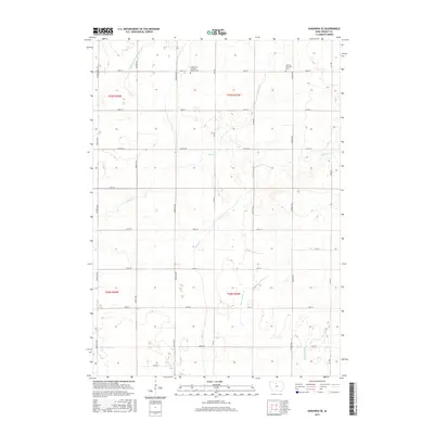
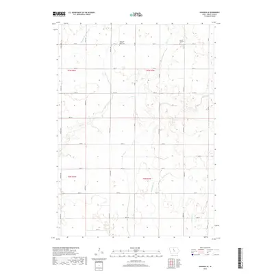
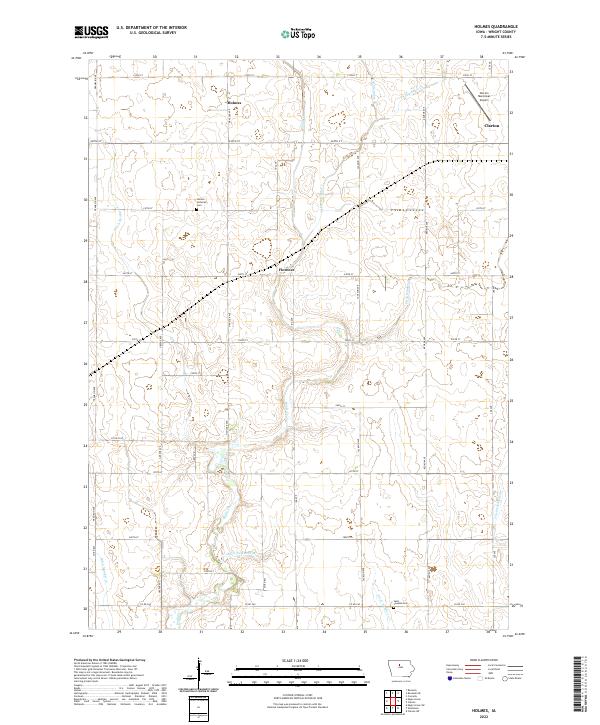
1978 Holmes
Wright County, IA
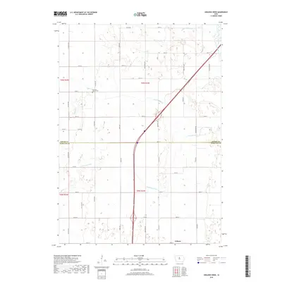
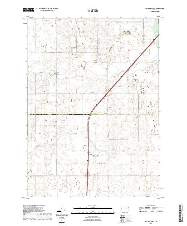
1978 Sheldon Creek
Wright County, IA
2010 Clarion SW
Wright County, IA
2010 Cornelia
Wright County, IA
2010 Dows West
Wright County, IA
2010 Eagle Grove SW
Wright County, IA
2010 Holmes
Wright County, IA
2010 Kanawha SE
Wright County, IA
2010 Sheldon Creek
Wright County, IA
2013 Clarion SW
Wright County, IA
2013 Cornelia
Wright County, IA

2013 Dows West
Wright County, IA
2013 Eagle Grove SW
Wright County, IA
2013 Holmes
Wright County, IA
2013 Kanawha SE
Wright County, IA
2013 Sheldon Creek
Wright County, IA
2015 Clarion SW
Wright County, IA
2015 Cornelia
Wright County, IA
2015 Dows West
Wright County, IA
2015 Eagle Grove SW
Wright County, IA
2015 Holmes
Wright County, IA
2015 Kanawha SE
Wright County, IA
2015 Sheldon Creek
Wright County, IA
2018 Clarion SW
Wright County, IA
2018 Cornelia
Wright County, IA
2018 Dows West
Wright County, IA
2018 Eagle Grove SW
Wright County, IA
2018 Holmes
Wright County, IA
2018 Kanawha SE
Wright County, IA
2018 Sheldon Creek
Wright County, IA
2022 Clarion SW
Wright County, IA
2022 Cornelia
Wright County, IA
2022 Dows West
Wright County, IA
2022 Eagle Grove SW
Wright County, IA
2022 Holmes
Wright County, IA
2022 Kanawha SE
Wright County, IA
2022 Sheldon Creek
Wright County, IA