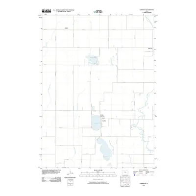
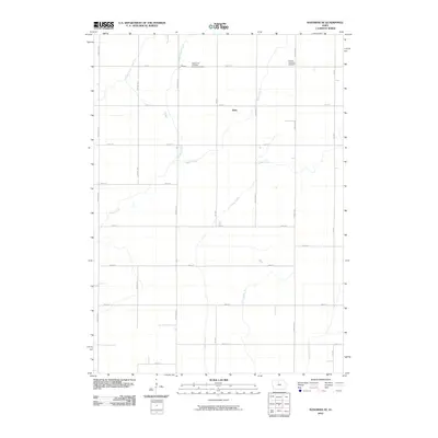
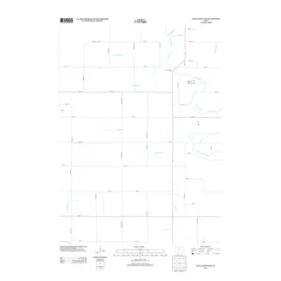
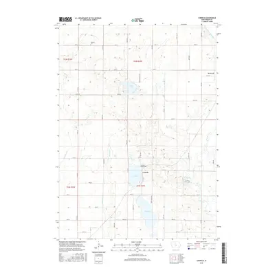
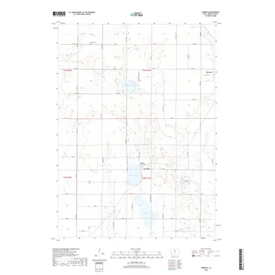
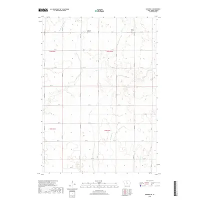
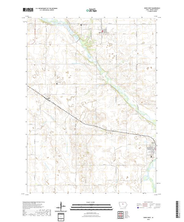
1978 Map of Dows West
USGS Topo · Published 1979About this map
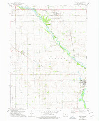
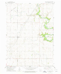
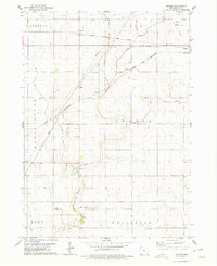
The Iowa River winds through the heart of Wright County in the late 1970s, anchoring a landscape shaped by both natural drainage and an extensive network of man-made waterways like Ditch No 146 and Ditch No 213. The small towns of Rowan, Galt, and Dows serve as local hubs, connected by the prominent routes of the Chicago and North Western and the Chicago Rock Island and Pacific railroads.
Find a feature on this map
26 named features on this map. Tap any name to fly to it.
Don’t see what you’re looking for? This feature index may not catch every label — zoom into the map to look around manually.
Map Details
Editions of this 1978 Dows West Map
This is the sole edition of this map. No revisions or reprints were ever made.
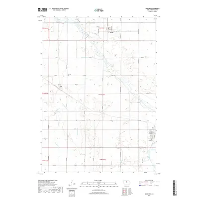
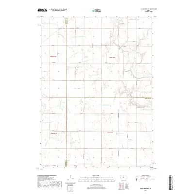
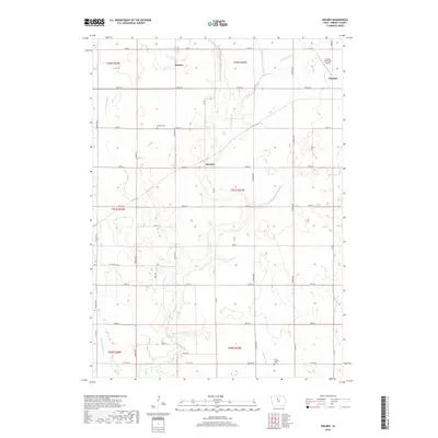
Historical Maps of Dows Through Time
42 maps found
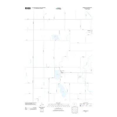
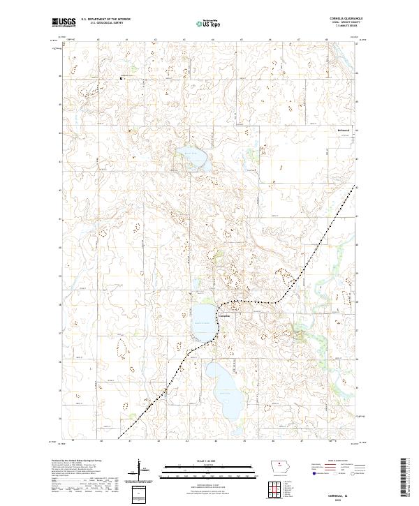
1972 Cornelia
Wright County, IA
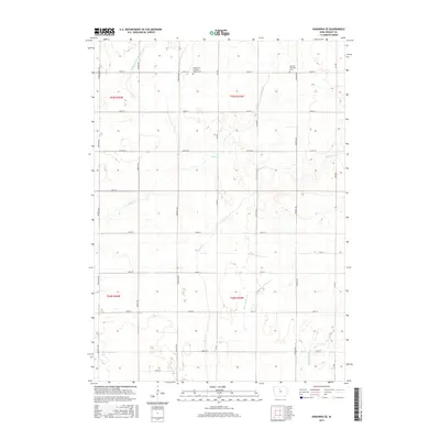
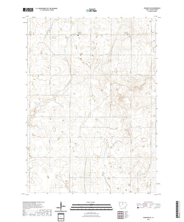
1972 Kanawha SE
Wright County, IA
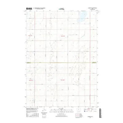
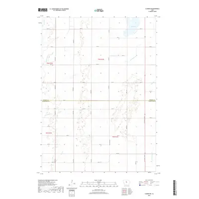
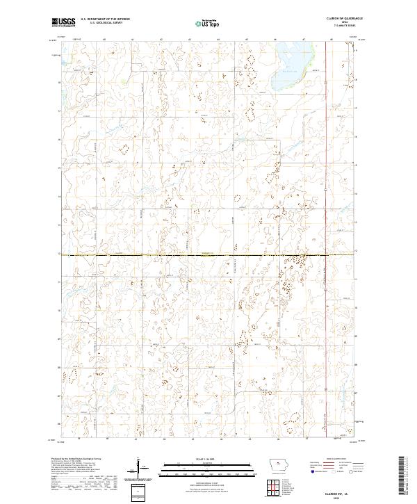
1978 Clarion SW
Wright County, IA
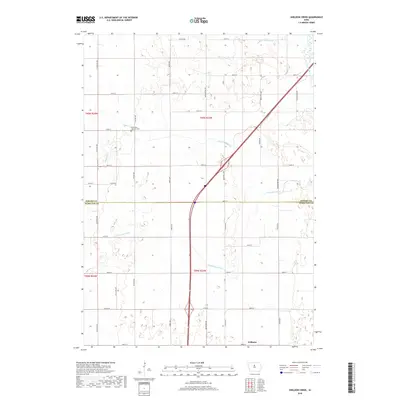
1978 Dows West
Wright County, IA
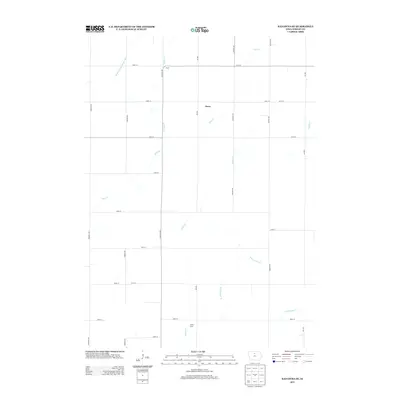
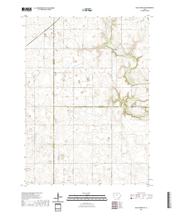
1978 Eagle Grove SW
Wright County, IA
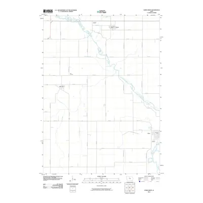
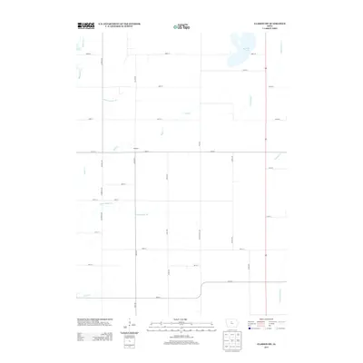
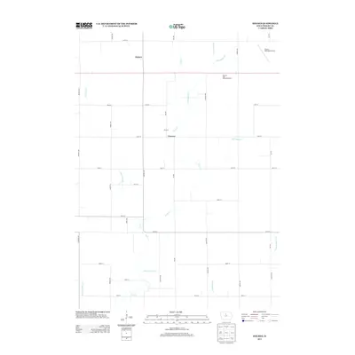
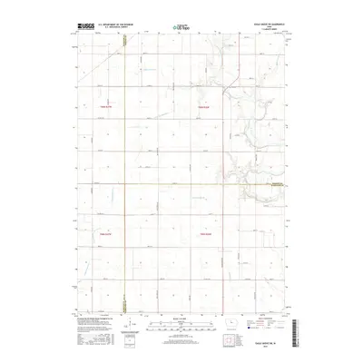
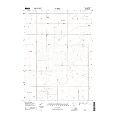
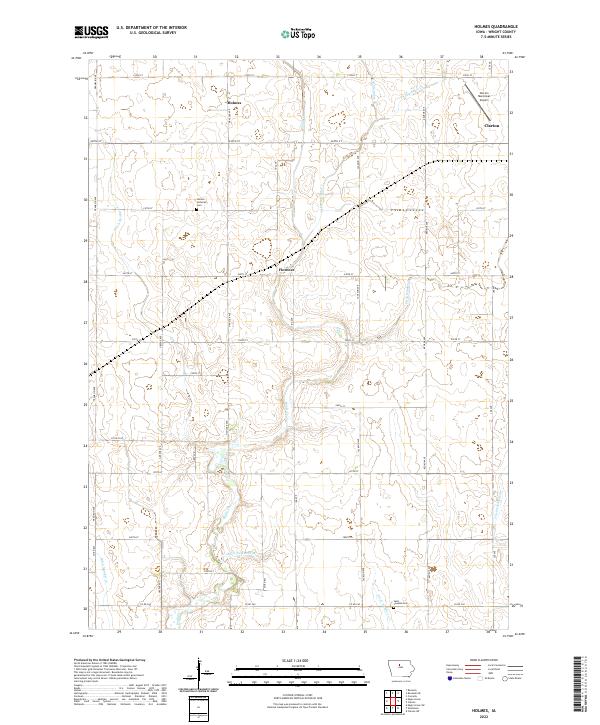
1978 Holmes
Wright County, IA
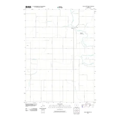
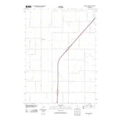
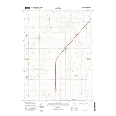
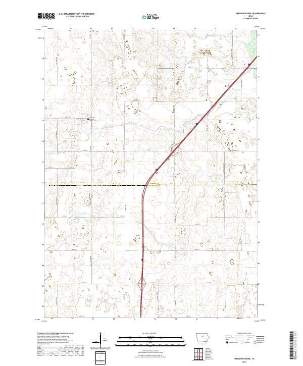
1978 Sheldon Creek
Wright County, IA
2010 Clarion SW
Wright County, IA
2010 Cornelia
Wright County, IA
2010 Dows West
Wright County, IA
2010 Eagle Grove SW
Wright County, IA
2010 Holmes
Wright County, IA
2010 Kanawha SE
Wright County, IA
2010 Sheldon Creek
Wright County, IA
2013 Clarion SW
Wright County, IA
2013 Cornelia
Wright County, IA

2013 Dows West
Wright County, IA
2013 Eagle Grove SW
Wright County, IA
2013 Holmes
Wright County, IA
2013 Kanawha SE
Wright County, IA
2013 Sheldon Creek
Wright County, IA
2015 Clarion SW
Wright County, IA
2015 Cornelia
Wright County, IA
2015 Dows West
Wright County, IA
2015 Eagle Grove SW
Wright County, IA
2015 Holmes
Wright County, IA
2015 Kanawha SE
Wright County, IA
2015 Sheldon Creek
Wright County, IA
2018 Clarion SW
Wright County, IA
2018 Cornelia
Wright County, IA
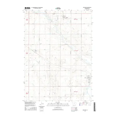
2018 Dows West
Wright County, IA
2018 Eagle Grove SW
Wright County, IA
2018 Holmes
Wright County, IA
2018 Kanawha SE
Wright County, IA
2018 Sheldon Creek
Wright County, IA
2022 Clarion SW
Wright County, IA
2022 Cornelia
Wright County, IA
2022 Dows West
Wright County, IA
2022 Eagle Grove SW
Wright County, IA
2022 Holmes
Wright County, IA
2022 Kanawha SE
Wright County, IA
2022 Sheldon Creek
Wright County, IA