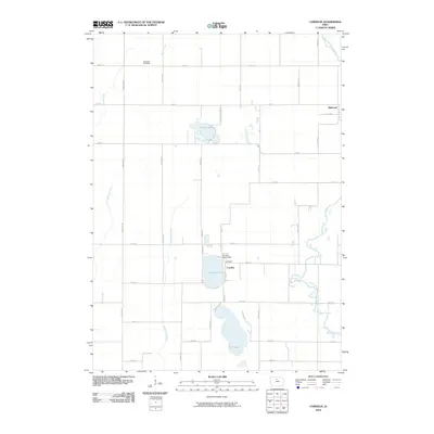
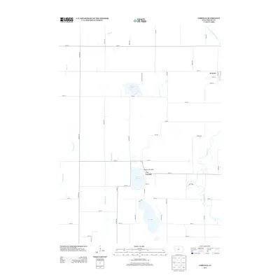
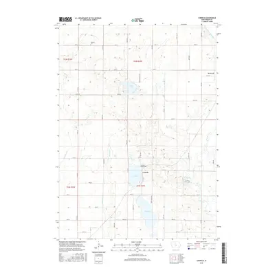
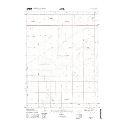
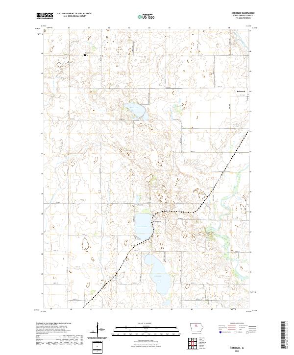
1972 Map of Cornelia
USGS Topo · Published 1975About this map
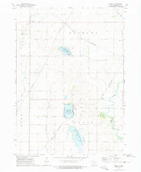
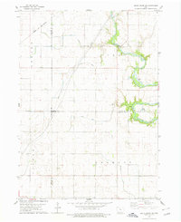
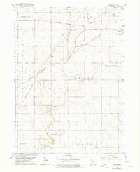
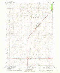
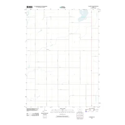
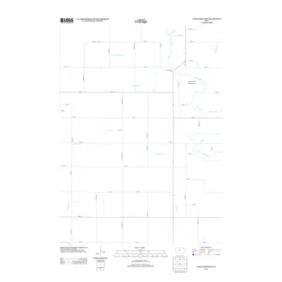
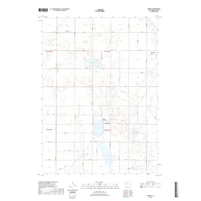
Lake Cornelia and its surrounding wetlands anchor this prairie landscape in Grant and Lake townships during the early 1970s. The map illustrates a region defined by its water resources and conservation efforts, featuring large protected areas like the Elm Lake State Game Management Area and Morse Lake State Game Management Area. These natural basins, along with Morse Lake and Elm Lake, are part of a hydrological network that includes the Iowa River winding through the eastern portion of the quadrangle. For genealogists, the map preserves the location of St Olaf Ch and the Ringsaker Cem in the northwest, serving as vital landmarks for local family history. The Chicago and North Western railroad cuts diagonally across the terrain, passing through the small community of Cornelia and approaching the edge of Belmond, reflecting the rail-centered agricultural transport patterns of the era.
Find a feature on this map
21 named features on this map. Tap any name to fly to it.
Don’t see what you’re looking for? This feature index may not catch every label — zoom into the map to look around manually.
Map Details
Editions of this 1972 Cornelia Map
This is the sole edition of this map. No revisions or reprints were ever made.
Historical Maps of Belmond Through Time
42 maps found
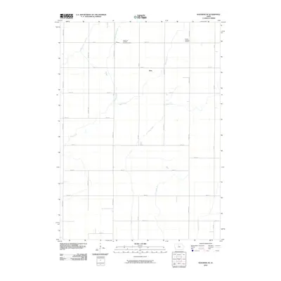
1972 Cornelia
Wright County, IA
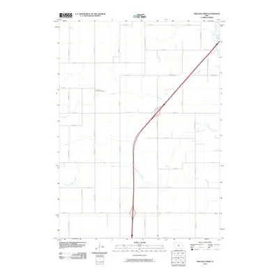
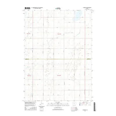
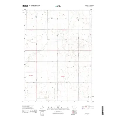
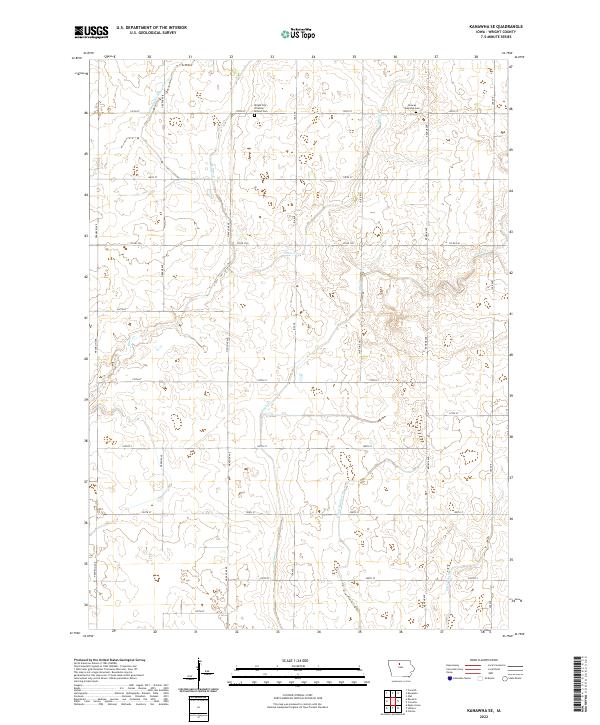
1972 Kanawha SE
Wright County, IA
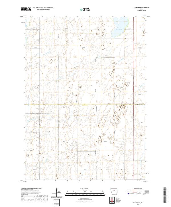
1978 Clarion SW
Wright County, IA
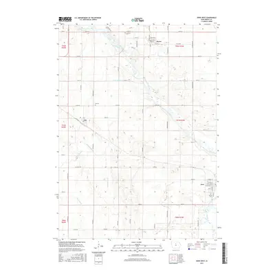
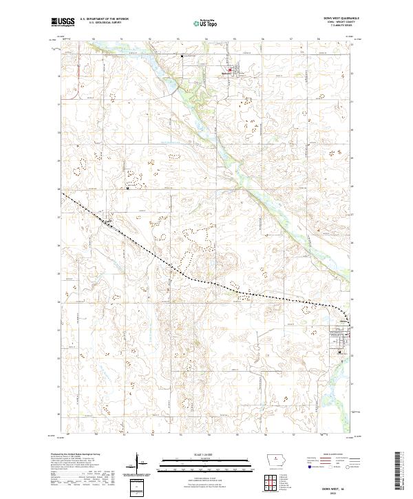
1978 Dows West
Wright County, IA
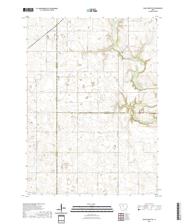
1978 Eagle Grove SW
Wright County, IA
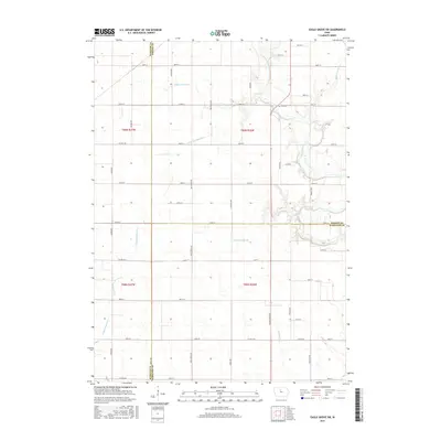
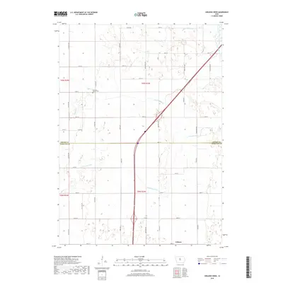
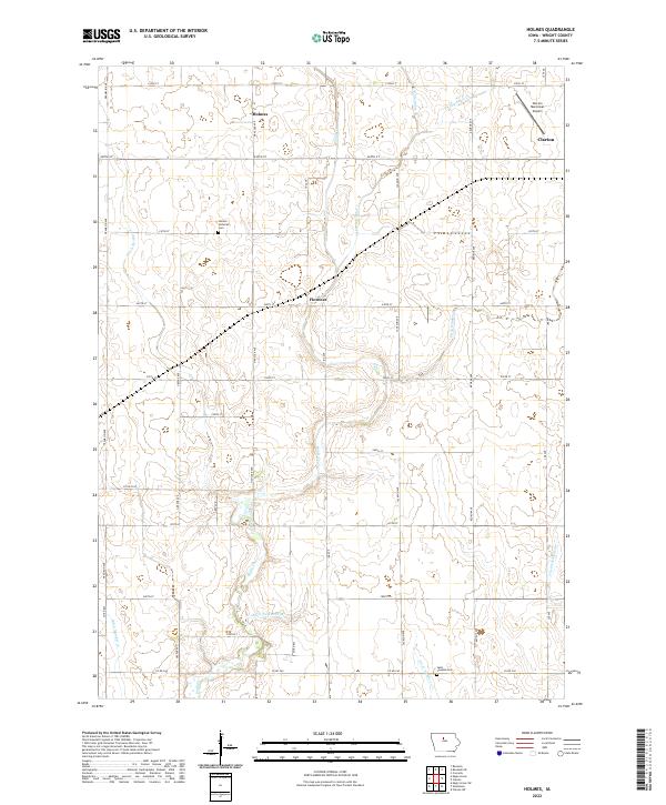
1978 Holmes
Wright County, IA
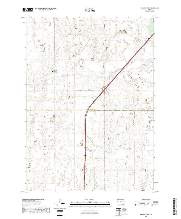
1978 Sheldon Creek
Wright County, IA
2010 Clarion SW
Wright County, IA
2010 Cornelia
Wright County, IA
2010 Dows West
Wright County, IA
2010 Eagle Grove SW
Wright County, IA
2010 Holmes
Wright County, IA
2010 Kanawha SE
Wright County, IA
2010 Sheldon Creek
Wright County, IA
2013 Clarion SW
Wright County, IA
2013 Cornelia
Wright County, IA

2013 Dows West
Wright County, IA
2013 Eagle Grove SW
Wright County, IA
2013 Holmes
Wright County, IA
2013 Kanawha SE
Wright County, IA
2013 Sheldon Creek
Wright County, IA
2015 Clarion SW
Wright County, IA
2015 Cornelia
Wright County, IA
2015 Dows West
Wright County, IA
2015 Eagle Grove SW
Wright County, IA
2015 Holmes
Wright County, IA
2015 Kanawha SE
Wright County, IA
2015 Sheldon Creek
Wright County, IA
2018 Clarion SW
Wright County, IA
2018 Cornelia
Wright County, IA
2018 Dows West
Wright County, IA
2018 Eagle Grove SW
Wright County, IA
2018 Holmes
Wright County, IA
2018 Kanawha SE
Wright County, IA
2018 Sheldon Creek
Wright County, IA
2022 Clarion SW
Wright County, IA
2022 Cornelia
Wright County, IA
2022 Dows West
Wright County, IA
2022 Eagle Grove SW
Wright County, IA
2022 Holmes
Wright County, IA
2022 Kanawha SE
Wright County, IA
2022 Sheldon Creek
Wright County, IA