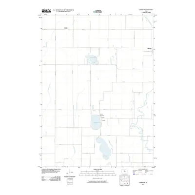
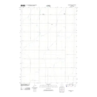
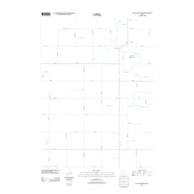
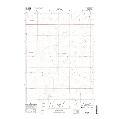
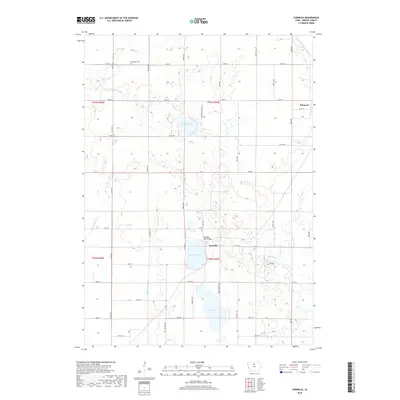
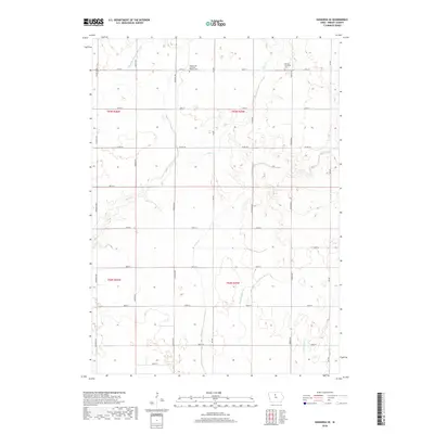
1978 Map of Eagle Grove SW
USGS Topo · Published 1979About this map
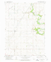
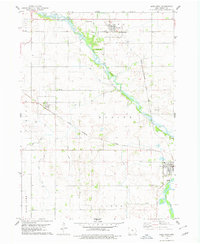
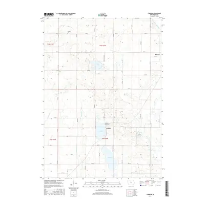
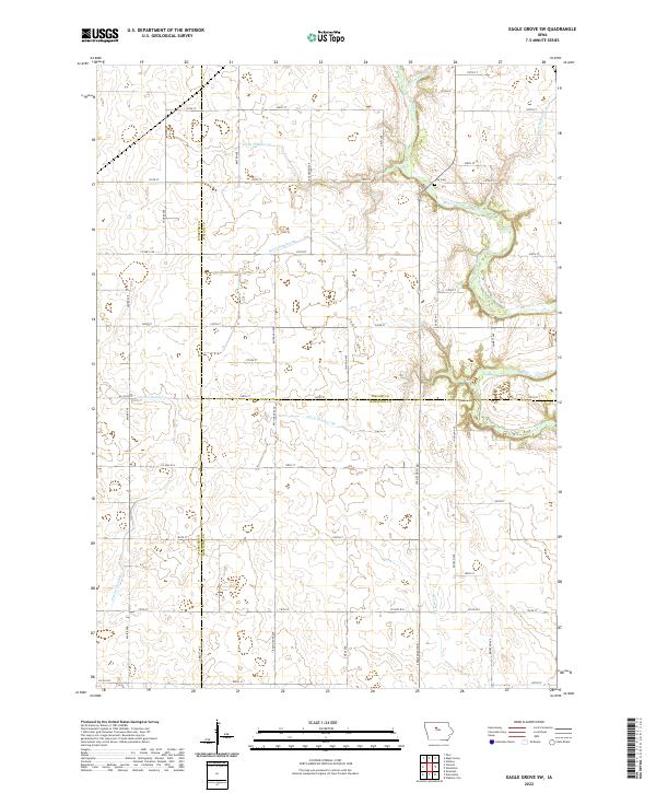
The Boone River meanders through the eastern portion of this landscape, marking a distinct break in the geometric grid of the surrounding prairie. This area, where the borders of Webster, Wright, and Hamilton counties meet, is defined by an extensive drainage network including Ditch No 49 and Ditch No 86, which converted the natural wetlands into productive farmland. The Chicago and North Western railroad cuts a diagonal path across the northwestern corner, providing a vital link for the agricultural economy of Troy and Newark townships.
Find a feature on this map
17 named features on this map. Tap any name to fly to it.
Don’t see what you’re looking for? This feature index may not catch every label — zoom into the map to look around manually.
Map Details
Editions of this 1978 Eagle Grove SW Map
This is the sole edition of this map. No revisions or reprints were ever made.
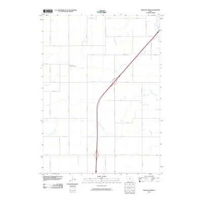
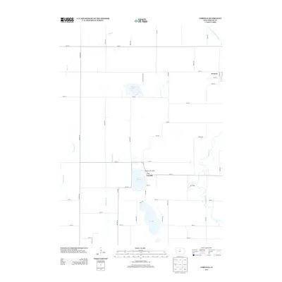
Historical Maps of Colfax Township Through Time
42 maps found
1972 Cornelia
Wright County, IA
1972 Kanawha SE
Wright County, IA
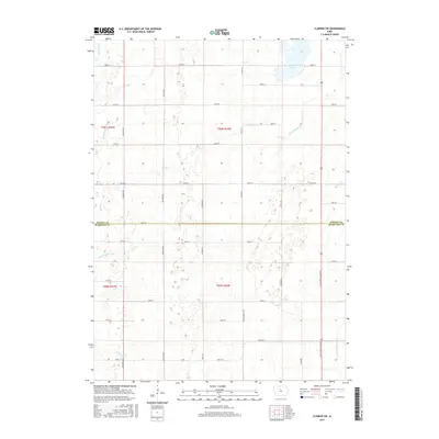
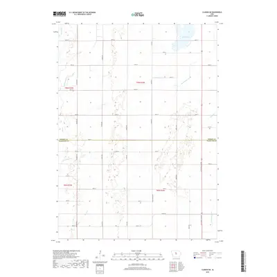
1978 Clarion SW
Wright County, IA
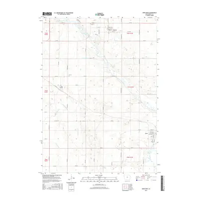
1978 Dows West
Wright County, IA
1978 Eagle Grove SW
Wright County, IA
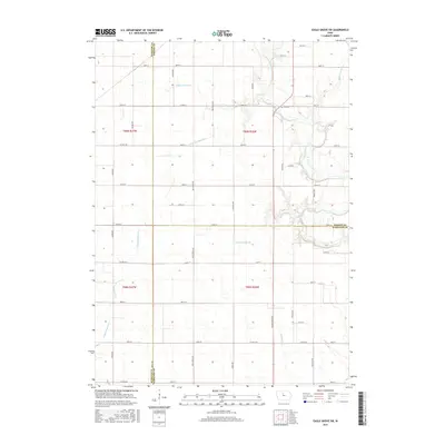
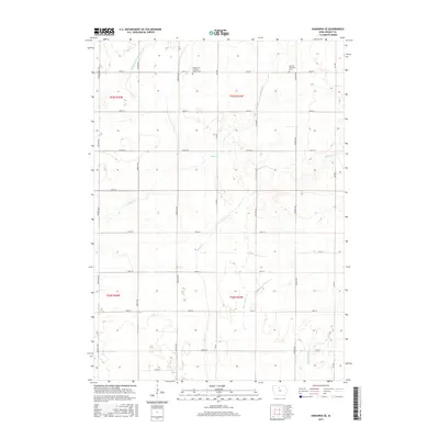
1978 Holmes
Wright County, IA
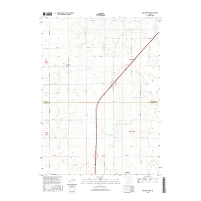
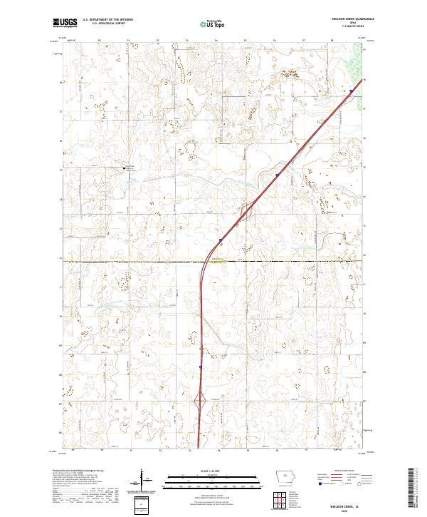
1978 Sheldon Creek
Wright County, IA
2010 Clarion SW
Wright County, IA
2010 Cornelia
Wright County, IA
2010 Dows West
Wright County, IA
2010 Eagle Grove SW
Wright County, IA
2010 Holmes
Wright County, IA
2010 Kanawha SE
Wright County, IA
2010 Sheldon Creek
Wright County, IA
2013 Clarion SW
Wright County, IA
2013 Cornelia
Wright County, IA

2013 Dows West
Wright County, IA
2013 Eagle Grove SW
Wright County, IA
2013 Holmes
Wright County, IA
2013 Kanawha SE
Wright County, IA
2013 Sheldon Creek
Wright County, IA
2015 Clarion SW
Wright County, IA
2015 Cornelia
Wright County, IA
2015 Dows West
Wright County, IA
2015 Eagle Grove SW
Wright County, IA
2015 Holmes
Wright County, IA
2015 Kanawha SE
Wright County, IA
2015 Sheldon Creek
Wright County, IA
2018 Clarion SW
Wright County, IA
2018 Cornelia
Wright County, IA
2018 Dows West
Wright County, IA
2018 Eagle Grove SW
Wright County, IA
2018 Holmes
Wright County, IA
2018 Kanawha SE
Wright County, IA
2018 Sheldon Creek
Wright County, IA
2022 Clarion SW
Wright County, IA
2022 Cornelia
Wright County, IA
2022 Dows West
Wright County, IA
2022 Eagle Grove SW
Wright County, IA
2022 Holmes
Wright County, IA
2022 Kanawha SE
Wright County, IA
2022 Sheldon Creek
Wright County, IA