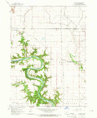
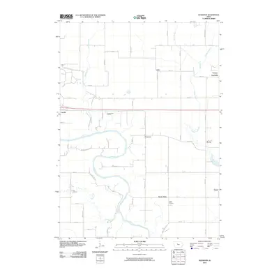
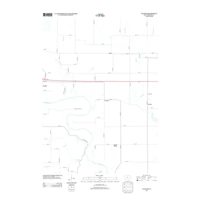
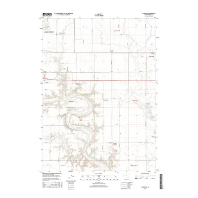
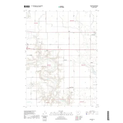
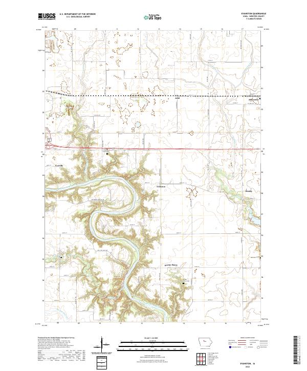
1965 Map of Evanston
USGS Topo · Published 1966About this map
Des Moines River meanders sharply through the heart of this mid-1960s Webster County landscape, carving deep valleys that stand in stark contrast to the surrounding agricultural plains. Along these forested slopes, conservation and recreation areas such as Woodmans Hollow State Park and Dolliver Memorial State Park preserve the river's natural character. The settlement pattern is defined by small rail-aligned communities like Judd and Duncombe to the north, and Evanston and Border Plains positioned near the river bluffs. This era shows a transition in transportation, where the Fort Dodge Des Moines and Southern and Illinois Central tracks intersect with emerging industrial features, including a Quarry and several Gravel Pits. For genealogists, the map identifies several local resting places such as Washington Cem and Otho Cem, providing precise locations for historic family plots.
Find a feature on this map
33 named features on this map. Tap any name to fly to it.
Don’t see what you’re looking for? This feature index may not catch every label — zoom into the map to look around manually.
Map Details
Editions of this 1965 Evanston Map
This is the sole edition of this map. No revisions or reprints were ever made.
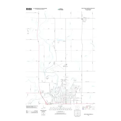
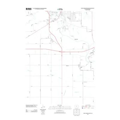
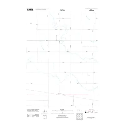
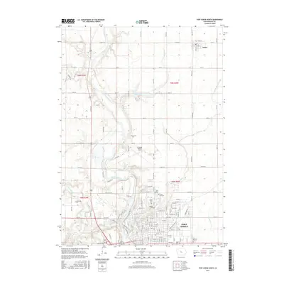
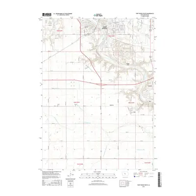
Historical Maps of Fort Dodge Through Time
24 maps found
1965 Evanston
Webster County, IA
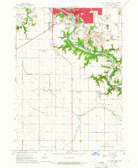
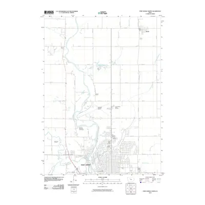
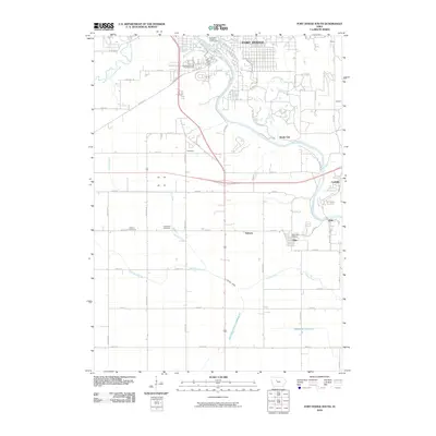
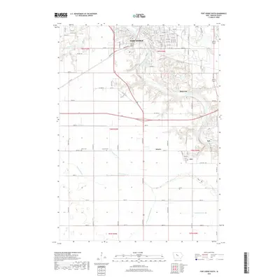
1965 Fort Dodge South
Webster County, IA
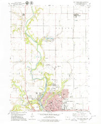
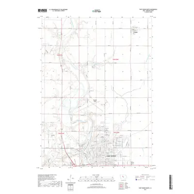
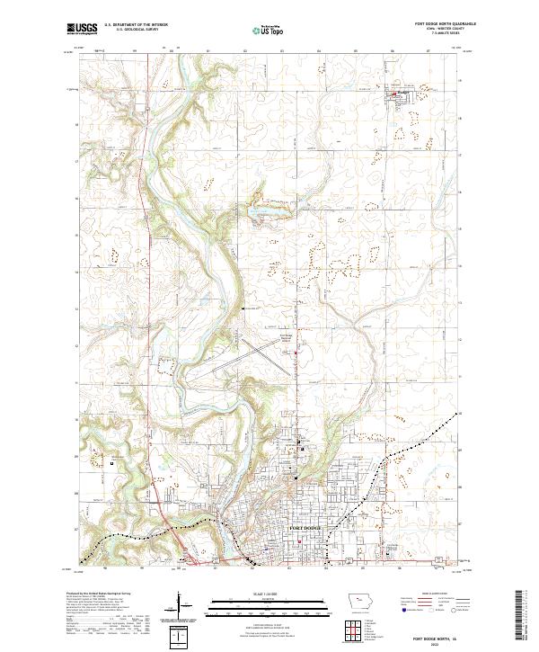
1979 Fort Dodge North
Webster County, IA
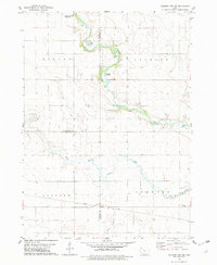
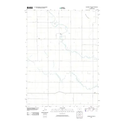
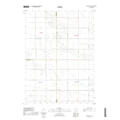
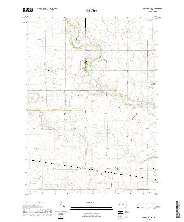
1979 Gilmore City SW
Webster County, IA
2010 Evanston
Webster County, IA
2010 Fort Dodge North
Webster County, IA
2010 Fort Dodge South
Webster County, IA
2010 Gilmore City SW
Webster County, IA
2013 Evanston
Webster County, IA
2013 Fort Dodge North
Webster County, IA
2013 Fort Dodge South
Webster County, IA
2013 Gilmore City SW
Webster County, IA
2015 Evanston
Webster County, IA
2015 Fort Dodge North
Webster County, IA
2015 Fort Dodge South
Webster County, IA
2015 Gilmore City SW
Webster County, IA
2018 Evanston
Webster County, IA
2018 Fort Dodge North
Webster County, IA
2018 Fort Dodge South
Webster County, IA
2018 Gilmore City SW
Webster County, IA
2022 Evanston
Webster County, IA
2022 Fort Dodge North
Webster County, IA

2022 Fort Dodge South
Webster County, IA
2022 Gilmore City SW
Webster County, IA