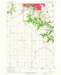
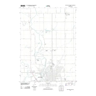
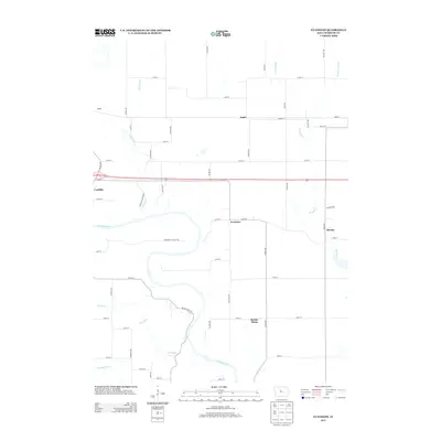
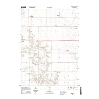
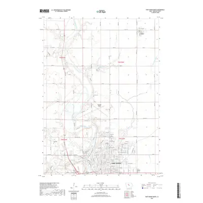
1965 Map of Fort Dodge South
USGS Topo · Published 1966About this map
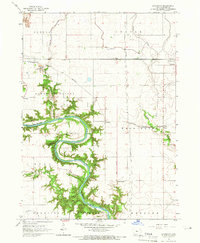
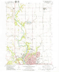
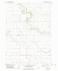
The Des Moines River carves a deep, wooded path through the center of this Webster County landscape, contrasting sharply with the geometric agricultural grid that defines the surrounding townships. In the mid-1960s, the southern reaches of Fort Dodge show a heavy industrial footprint concentrated along the riverbanks, evidenced by numerous quarries and the presence of kilns near Coalville. This industrial character is supported by a dense network of transit, including the Chicago and North Western and the Fort Dodge Des Moines and Southern railroads.
Find a feature on this map
48 named features on this map. Tap any name to fly to it.
Don’t see what you’re looking for? This feature index may not catch every label — zoom into the map to look around manually.
Map Details
Editions of this 1965 Fort Dodge South Map
This is the sole edition of this map. No revisions or reprints were ever made.
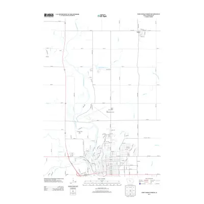
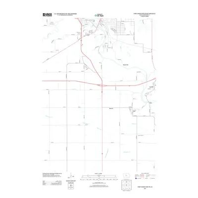
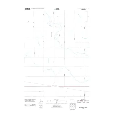
Historical Maps of Fort Dodge Through Time
24 maps found
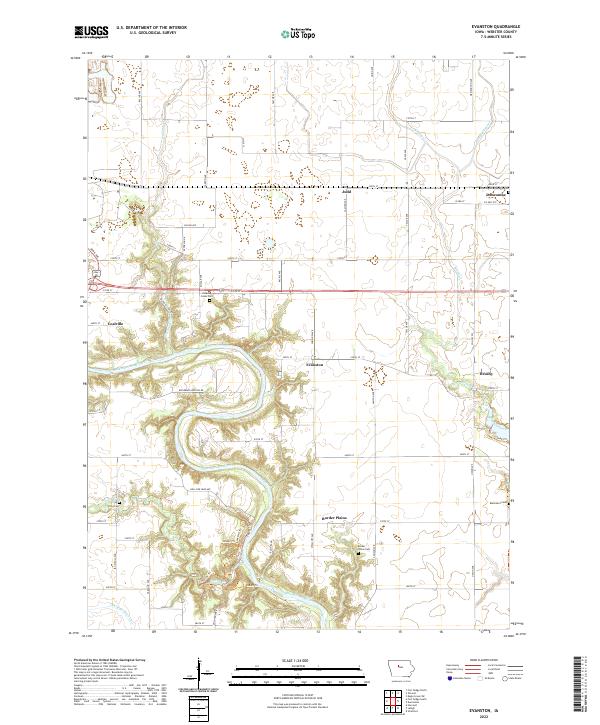
1965 Evanston
Webster County, IA
1965 Fort Dodge South
Webster County, IA
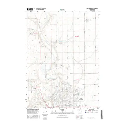
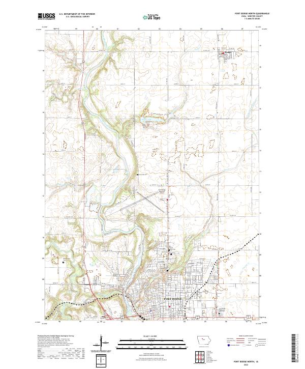
1979 Fort Dodge North
Webster County, IA
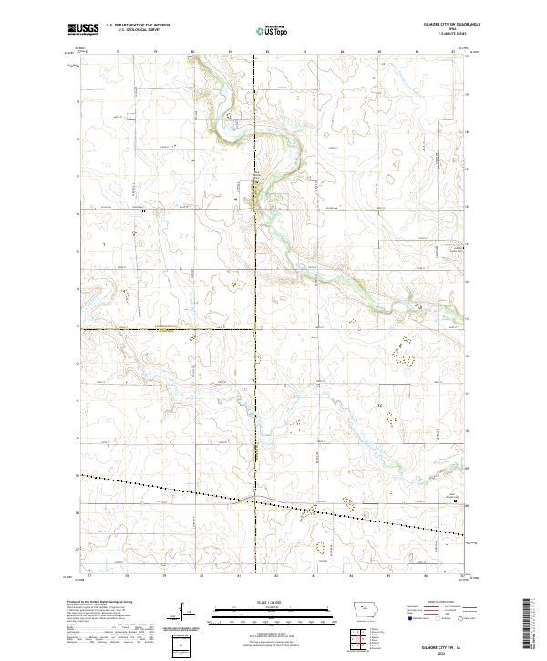
1979 Gilmore City SW
Webster County, IA
2010 Evanston
Webster County, IA
2010 Fort Dodge North
Webster County, IA
2010 Fort Dodge South
Webster County, IA
2010 Gilmore City SW
Webster County, IA
2013 Evanston
Webster County, IA
2013 Fort Dodge North
Webster County, IA
2013 Fort Dodge South
Webster County, IA
2013 Gilmore City SW
Webster County, IA
2015 Evanston
Webster County, IA
2015 Fort Dodge North
Webster County, IA
2015 Fort Dodge South
Webster County, IA
2015 Gilmore City SW
Webster County, IA
2018 Evanston
Webster County, IA
2018 Fort Dodge North
Webster County, IA
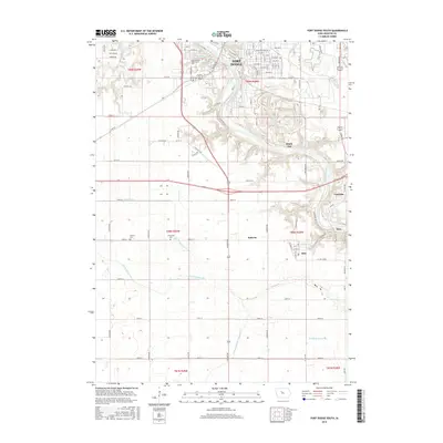
2018 Fort Dodge South
Webster County, IA
2018 Gilmore City SW
Webster County, IA
2022 Evanston
Webster County, IA
2022 Fort Dodge North
Webster County, IA

2022 Fort Dodge South
Webster County, IA
2022 Gilmore City SW
Webster County, IA
Featured Locations
- Elkhorn Township, IA
- Fort Dodge, IA
- Coalville, Pleasant Valley Township
- Shady Oak, Pleasant Valley Township
- Otho, Otho Township