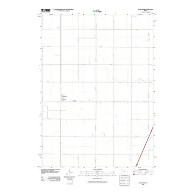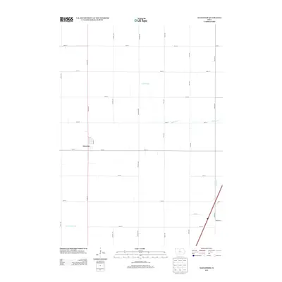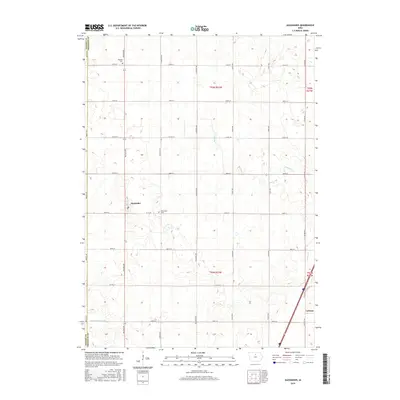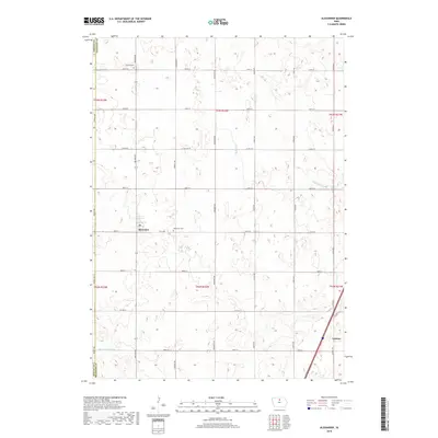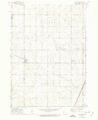
1972 Map of Alexander
USGS Topo · Published 1975About this map
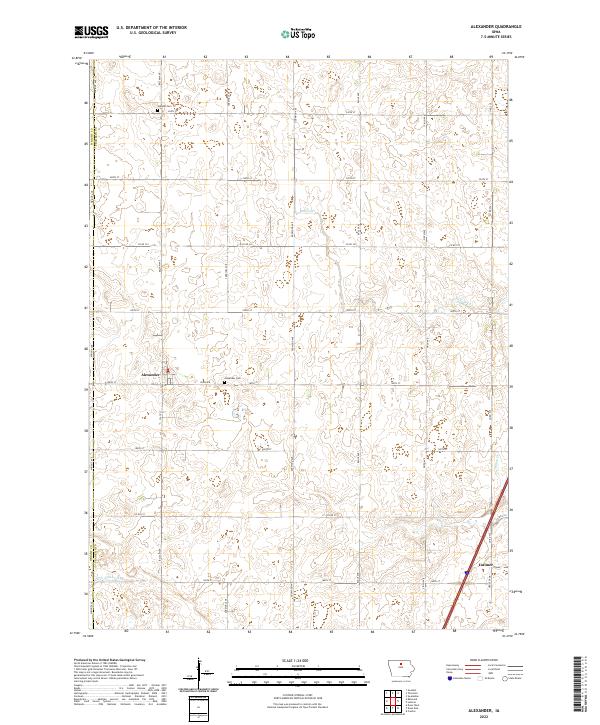
The town of Alexander serves as the central hub of this northern Iowa landscape, situated along the Chicago and North Western line. This early 1970s survey captures a transition in regional transportation, as an Old Railroad Grade cuts through Scott township, signaling the shift away from older rail corridors. The terrain is defined by the gentle drainage of Buffalo Creek and Otter Cr, with small pockets of community life found at Loomis Memorial Park and a local Cem located near the northern border of Wisner township.
Find a feature on this map
19 named features on this map. Tap any name to fly to it.
Don’t see what you’re looking for? This feature index may not catch every label — zoom into the map to look around manually.
Map Details
Editions of this 1972 Alexander Map
This is the sole edition of this map. No revisions or reprints were ever made.
Historical Maps of Latimer Through Time
6 maps found