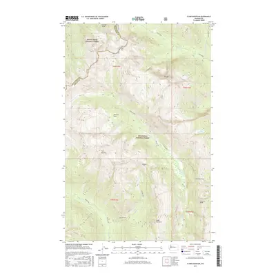
2017 Map of Clark Mountain
USGS Topo · Published 2017About this map
Clark Mountain stands as a central topographic anchor on this high-elevation survey of the North Cascades, straddling the boundary of Snohomish and Chelan counties. The high-country terrain is defined by a network of drainage systems, including the Chiwawa River and the westward-flowing White River, which carve deep valleys between massive ridges like Chiwawa Ridge. Historical travel through these heights is marked by several notable crossings, most prominently Boulder Pass, High Pass, and Little Giant Pass. These routes provided the primary access through the Mount Baker and Wenatchee National Forests before more modern infrastructure. The map also identifies isolated landmarks such as Butterfly Butte and Buck Mountain, alongside remote water bodies like King Lake, offering a detailed view of the wilderness as it appeared in the early 21st century.
Find a feature on this map
31 named features on this map. Tap any name to fly to it.
Don’t see what you’re looking for? This feature index may not catch every label — zoom into the map to look around manually.
Map Details
Editions of this 2017 Clark Mountain Map
This is the sole edition of this map. No revisions or reprints were ever made.
Other maps of this area

1899 · Glacier Peak
USGS Topo · 1:125,000

1901 · Glacier Peak
USGS Topo · 1:125,000

1901 · Chiwaukum
USGS Topo · 1:125,000

1902 · Skykomish
USGS Topo · 1:125,000

1902 · Stehekin
USGS Topo · 1:125,000

1904 · Stehekin
USGS Topo · 1:125,000

1904 · Chiwaukum
USGS Topo · 1:125,000

1905 · Skykomish
USGS Topo · 1:125,000

1944 · Holden
USGS Topo · 1:62,500

1949 · Holden
USGS Topo · 1:62,500