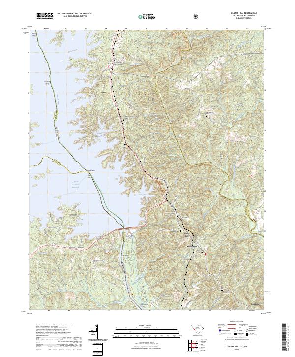
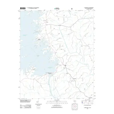
2024 Map of Clarks Hill
USGS Topo · Published 2024About this map
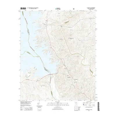
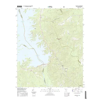
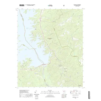
J. Strom Thurmond Reservoir dominates the western edge of this landscape, its indented shoreline defining the border between South Carolina and Georgia along the former course of the Savannah River. The settlement of Modoc sits near the northern reaches of the reservoir, while the community of Clarks Hill serves as a central hub for the surrounding rural area. Much of the eastern terrain is occupied by the protected lands of the Sumter National Forest, characterized by numerous watercourses including Cuffey Branch, Steven Creek, and Double Branches.
Find a feature on this map
83 named features on this map. Tap any name to fly to it.
Don’t see what you’re looking for? This feature index may not catch every label — zoom into the map to look around manually.
Map Details
Editions of this 2024 Clarks Hill Map
This is the sole edition of this map. No revisions or reprints were ever made.
Historical Maps of Woodlawn Through Time
10 maps found

1920 Clarks Hill
McCormick County, SC
1921 Clarks Hill
McCormick County, SC
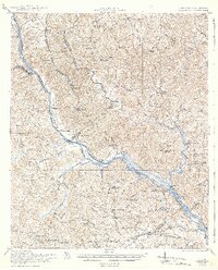
1941 Clarks Hill
McCormick County, SC

1942 Clarks Hill
McCormick County, SC
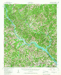
1964 Clarks Hill
McCormick County, SC
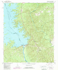
2012 Clarks Hill
McCormick County, SC
2014 Clarks Hill
McCormick County, SC
2017 Clarks Hill
McCormick County, SC
2020 Clarks Hill
McCormick County, SC
2024 Clarks Hill
McCormick County, SC