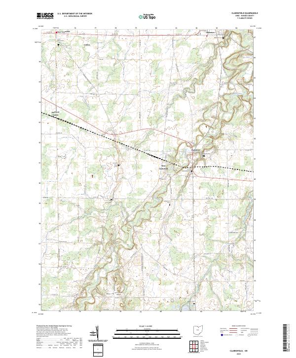
2023 Map of Clarksfield
USGS Topo · Published 2023About this map
The Vermilion River and its East Branch carve a winding course through this Huron County landscape, shaping the rural character of the settlements that emerged along their banks. Small hamlets like Clarksfield and West Clarksfield serve as central nodes for a network of township roads, many of which still carry the names of the original families and crossroads that defined this area. This survey documents a high concentration of burial grounds, including the South Clarksfield Cem and Methodist Cem, which provide essential touchstones for genealogical research in the region.
Find a feature on this map
58 named features on this map. Tap any name to fly to it.
Don’t see what you’re looking for? This feature index may not catch every label — zoom into the map to look around manually.
Map Details
Editions of this 2023 Clarksfield Map
This is the sole edition of this map. No revisions or reprints were ever made.
Historical Maps of East Townsend Through Time
4 maps found
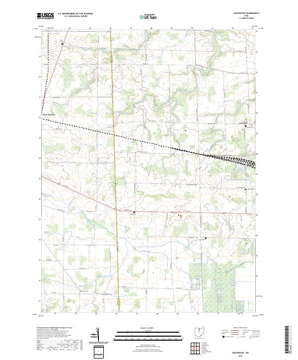
Featured Locations
- Fitchville Township, OH
- Clarksfield, Clarksfield Township
- West Clarksfield, Clarksfield Township
- Wakeman, Wakeman Township
- Hartland, Hartland Township