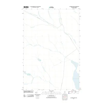
2011 Map of Clarkson Pond
USGS Topo · Published 2011About this map
Clarkson Pond and the surrounding North Woods of Piscataquis County are defined by an intricate network of waterways at the start of the 2010s. The landscape is dominated by the headwaters and tributaries of the Allagash Wilderness region, including the multi-pronged West Branch Thoroughfare Brook and Snare Brook. These streams feed into larger basins such as the Heron-Churchill Lakes system and Lower Russell Pond.
Find a feature on this map
17 named features on this map. Tap any name to fly to it.
Don’t see what you’re looking for? This feature index may not catch every label — zoom into the map to look around manually.
Map Details
Editions of this 2011 Clarkson Pond Map
This is the sole edition of this map. No revisions or reprints were ever made.
Other maps of this area

1932 · Umsaskis Lake
USGS Topo · 1:48,000

1935 · Umsaskis Lake
USGS Topo · 1:62,500

1954 · Churchill Lake
USGS Topo · 1:62,500

1954 · Allagash Lake
USGS Topo · 1:62,500

1954 · Presque Isle
USGS Topo · 1:250,000

1955 · Clayton Lake
USGS Topo · 1:62,500

1958 · Presque Isle
USGS Topo · 1:250,000

1960 · Presque Isle
USGS Topo · 1:250,000

1961 · Allagash Lake
USGS Topo · 1:62,500
1962 · Churchill Lake
USGS Topo · 1:62,500