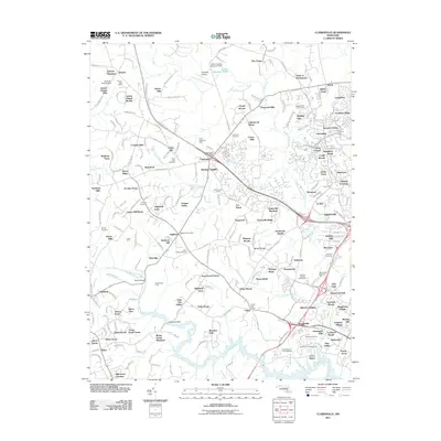
2011 Map of Clarksville
USGS Topo · Published 2011About this map
The Patuxent River and its tributaries carve through this Howard County landscape, defining the boundaries of established suburban enclaves and rural holdouts. Central to the map is Clarksville Post Office, a hub surrounded by a dense network of residential developments such as Heritage Heights and Foxhall Villas. This area reflects the modern growth patterns of the Baltimore-Washington corridor, where large-scale institutional presence like the Hopkins Applied Physics Lab and Montpelier Research Park exists alongside older community markers.
Find a feature on this map
218 named features on this map. Tap any name to fly to it.
Don’t see what you’re looking for? This feature index may not catch every label — zoom into the map to look around manually.
Map Details
Editions of this 2011 Clarksville Map
This is the sole edition of this map. No revisions or reprints were ever made.
Other maps of this area

1892 · Laurel
USGS Topo · 1:62,500

1892 · Ellicott
USGS Topo · 1:62,500

1893 · Frederick
USGS Topo · 1:125,000

1894 · Ellicott
USGS Topo · 1:62,500

1894 · Laurel
USGS Topo · 1:62,500

1894 · Frederick
USGS Topo · 1:125,000

1897 · Laurel
USGS Topo · 1:62,500

1906 · Ellicott
USGS Topo · 1:62,500

1907 · Laurel
USGS Topo · 1:62,500

1908 · Patapsco
USGS Topo · 1:125,000