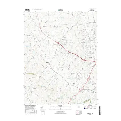
2016 Map of Clarksville
USGS Topo · Published 2016About this map
Dayton and Clarksville anchor this 2016 survey of Howard County, Maryland, where the suburban development of Columbia meets the preserved rural character of the Piedmont. The landscape is defined by the winding course of the Middle Patuxent River and its numerous tributaries, including Hammond Br and Skunk Cabbage Cr. For those tracing local history, the map provides precise locations for family-named burial grounds like Linthicum Cem and Hopkins Cem, alongside the Saint Louis Cem near the heart of Clarksville. The southwestern corner is dominated by the waters of the Triadelphia Reservoir and Patuxent River, showing the modern infrastructure and community centers such as Howard Community Coll and the Tai Sophia Institute. Settlements like Simpsonville, Highland, and Scaggsville reflect the area's growth along the historical corridors of Clarksville Pike and State Rte 108.
Find a feature on this map
206 named features on this map. Tap any name to fly to it.
Don’t see what you’re looking for? This feature index may not catch every label — zoom into the map to look around manually.
Map Details
Editions of this 2016 Clarksville Map
This is the sole edition of this map. No revisions or reprints were ever made.
Other maps of this area

1892 · Laurel
USGS Topo · 1:62,500

1892 · Ellicott
USGS Topo · 1:62,500

1893 · Frederick
USGS Topo · 1:125,000

1894 · Ellicott
USGS Topo · 1:62,500

1894 · Laurel
USGS Topo · 1:62,500

1894 · Frederick
USGS Topo · 1:125,000

1897 · Laurel
USGS Topo · 1:62,500

1906 · Ellicott
USGS Topo · 1:62,500

1907 · Laurel
USGS Topo · 1:62,500

1908 · Patapsco
USGS Topo · 1:125,000