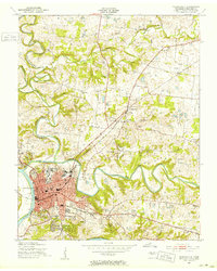
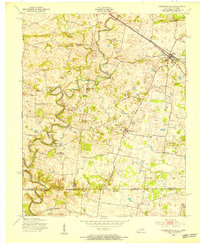
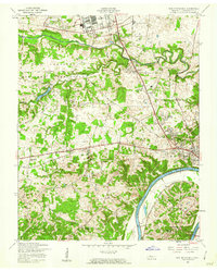
1951 Map of Clarksville
USGS Topo · Published 1953About this map
Clarksville sits at the strategic confluence of the Cumberland River and the winding Red River, serving as a regional hub for education and commerce in the early 1950s. The urban core, indicated by dense red tinting, features Austin Peay State College, City Hall, and a central grid bisected by the Tennessee Central Railroad. Outside the city center, the landscape transitions into a series of smaller communities and rural landmarks such as New Providence and Edgefield. To the east, the presence of Dunbar Cave and its nearby Swimming Pool highlights the area's geological and recreational character. This survey documents a period of significant local infrastructure, from the Filtration Plant and Pumping Sta along the riverbanks to the scattered country schools like Glen Ellen Sch and Kennedy Sch that served the outlying farming districts before modern consolidation.
Find a feature on this map
36 named features on this map. Tap any name to fly to it.
Don’t see what you’re looking for? This feature index may not catch every label — zoom into the map to look around manually.
Map Details
Editions of this 1951 Clarksville Map
This is the sole edition of this map. No revisions or reprints were ever made.
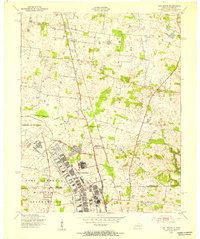
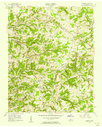
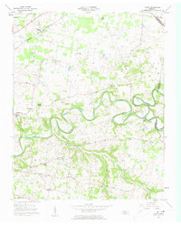
Other maps of this area
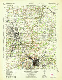
1944 · Clarksville
USGS Topo · 1:50,000
1950 · Guthrie
USGS Topo · 1:24,000
1951 · New Providence
USGS Topo · 1:24,000
1951 · Hammacksville
USGS Topo · 1:24,000
1951 · Oak Grove
USGS Topo · 1:24,000

1956 · Nashville
USGS Topo · 1:250,000
1957 · Henrietta
USGS Topo · 1:24,000
1957 · Sango
USGS Topo · 1:24,000
1957 · New Providence
USGS Topo · 1:24,000
1957 · Oak Grove
USGS Topo · 1:24,000
Featured Places
- Clarksville, TN
- Hillview Estates, Clarksville
- Shady Bluff, Clarksville
- Swan Lake Village, Clarksville
- Spring Valley, Clarksville