Loading...
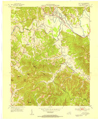
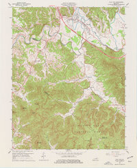
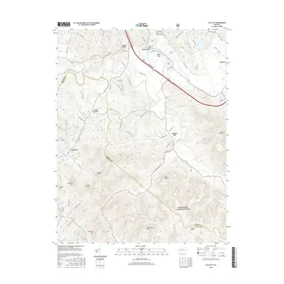
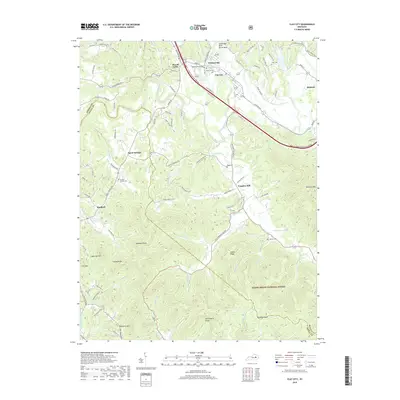
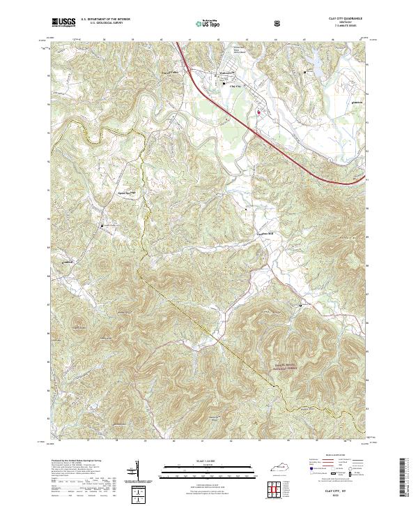
Loading map...1952 Map of Clay City
USGS Topo · Published 1953About this map
Clay City serves as a central hub along the Red River valley in this early 1950s survey of the Kentucky landscape. The town is flanked by smaller settlements such as Waltersville and Hatton, with the Louisville and Nashville railroad providing a critical transportation link through the river bottomlands. The map reveals a dense network of rural infrastructure, including numerous family-named landmarks and community centers like Vaughns Mill and the Marbleyard School.
Find a feature on this map
49 named features on this map. Tap any name to fly to it.
Don’t see what you’re looking for? This feature index may not catch every label — zoom into the map to look around manually.
Map Details
Date Portrayed1952
Date Published1953
PublisherU.S. Geological Survey
Map TypeTopographic
Scale1:24,000
Physical Dimensions22.5 x 27.4 inches
Editions of this 1952 Clay City Map
This is the sole edition of this map. No revisions or reprints were ever made.
Historical Maps of Stanton Through Time
7 maps found
Featured Locations
Source Details
SourceU.S. Geological Survey
CopyrightPublic Domain