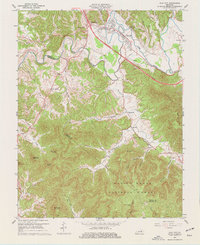
1966 Map of Clay City
USGS Topo · Published 1977About this map
Clay City and Waltersville anchor the northern edge of this Powell County landscape, where the Red River winds through Powell Valley. The terrain shifts dramatically to the south, rising into the timbered slopes of the Daniel Boone National Forest. This 1966 revision reveals a mid-century infrastructure transition, showing the Mountain Parkway cutting across the valley floor while older local landmarks remain intact. For those researching industrial history, the Cottage Furnace Ruins near Turkey Fork provide a tangible link to earlier regional iron production. The map also documents a network of rural community hubs, from the small settlement of Spout Springs to the gathered buildings of Vaughns Mill, which sits along Hardwick Creek near its namesake Vaughns Mill Ch. Local family history is well-preserved through numerous marked sites including Eaton Cem and Clark Cem.
Find a feature on this map
48 named features on this map. Tap any name to fly to it.
Don’t see what you’re looking for? This feature index may not catch every label — zoom into the map to look around manually.
Map Details
Editions of this 1966 Clay City Map
2 editions found
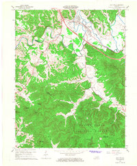
Other maps of this area

1892 · Richmond
USGS Topo · 1:125,000

1892 · Beattyville
USGS Topo · 1:125,000

1897 · Richmond
USGS Topo · 1:125,000

1950 · Levee
USGS Topo · 1:24,000

1952 · Palmer
USGS Topo · 1:24,000

1952 · Clay City
USGS Topo · 1:24,000

1952 · Stanton
USGS Topo · 1:24,000

1952 · Means
USGS Topo · 1:24,000

1952 · Levee
USGS Topo · 1:24,000

1952 · Cobhill
USGS Topo · 1:24,000