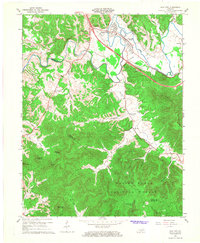
1966 Map of Clay City
USGS Topo · Published 1968About this map
Clay City serves as the focal point of this 1966 survey, situated where the Red River cuts through the transition from valley floor to the forested uplands of the Daniel Boone National Forest. The landscape is a study in mid-century transportation and industrial relics, featuring the Mountain Parkway and a Toll Road dissecting the northern half of the sheet. Local genealogy interests are well-represented by the scattered settlements of Waltersville, Vaughns Mill, and Spout Springs, alongside landmarks like Eaton Cem and Vaughns Mill Ch.
Find a feature on this map
46 named features on this map. Tap any name to fly to it.
Don’t see what you’re looking for? This feature index may not catch every label — zoom into the map to look around manually.
Map Details
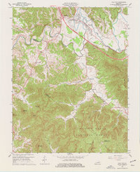
Editions of this 1966 Clay City Map
2 editions found
Other maps of this area

1892 · Richmond
USGS Topo · 1:125,000

1892 · Beattyville
USGS Topo · 1:125,000

1897 · Richmond
USGS Topo · 1:125,000

1950 · Levee
USGS Topo · 1:24,000

1952 · Palmer
USGS Topo · 1:24,000

1952 · Clay City
USGS Topo · 1:24,000

1952 · Stanton
USGS Topo · 1:24,000

1952 · Means
USGS Topo · 1:24,000

1952 · Levee
USGS Topo · 1:24,000

1952 · Cobhill
USGS Topo · 1:24,000