
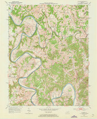
1952 Map of Palmer
USGS Topo · Published 1953About this map
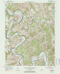
The Kentucky River winds dramatically through this 1950s landscape, creating deep meanders like Maupin Bend and The Bend where the waters have carved into the limestone of central Kentucky. This area, known as The Forks, sits at the convergence of several county lines where Madison Co, Clark Co, and Estill Co meet. The terrain is defined by its sharp elevation changes, notably at the Devils Backbone and Iron Mtn, which overlook a network of small agricultural settlements and family farms.
Find a feature on this map
65 named features on this map. Tap any name to fly to it.
Don’t see what you’re looking for? This feature index may not catch every label — zoom into the map to look around manually.
Map Details
Editions of this 1952 Palmer Map
Other maps of this area

1892 · Richmond
USGS Topo · 1:125,000

1892 · Beattyville
USGS Topo · 1:125,000

1897 · Richmond
USGS Topo · 1:125,000

1950 · Levee
USGS Topo · 1:24,000

1952 · Union City
USGS Topo · 1:24,000

1952 · Clay City
USGS Topo · 1:24,000

1952 · Levee
USGS Topo · 1:24,000

1952 · Winchester
USGS Topo · 1:24,000

1952 · Irvine
USGS Topo · 1:24,000

1952 · Panola
USGS Topo · 1:24,000