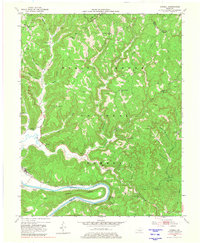
1952 Map of Cobhill
USGS Topo · Published 1981About this map
Oil wells and storage tanks dot the landscape of the Daniel Boone National Forest in this early 1950s survey of the Kentucky hills. The map highlights a rural industrial and agricultural pattern where small settlements like Fitchburg and Cobhill are connected by narrow hollows and winding waterways such as Furnace Fork and Sinking Fork. The rugged topography is defined by prominent elevations like Tipton Ridge and Old Landing Ridge, with many local family names preserved in the titles of landmarks like Mackey Cem and Howell Cem.
Find a feature on this map
60 named features on this map. Tap any name to fly to it.
Don’t see what you’re looking for? This feature index may not catch every label — zoom into the map to look around manually.
Map Details
Editions of this 1952 Cobhill Map
3 editions found
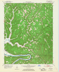
Other maps of this area

1892 · Beattyville
USGS Topo · 1:125,000

1952 · Leighton
USGS Topo · 1:24,000

1952 · Clay City
USGS Topo · 1:24,000

1952 · Stanton
USGS Topo · 1:24,000

1952 · Slade
USGS Topo · 1:24,000

1952 · Beattyville
USGS Topo · 1:24,000

1952 · Cobhill
USGS Topo · 1:24,000

1952 · Heidelberg
USGS Topo · 1:24,000

1952 · Irvine
USGS Topo · 1:24,000

1953 · Zachariah
USGS Topo · 1:24,000