Loading...
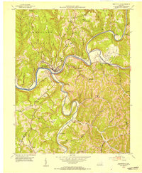
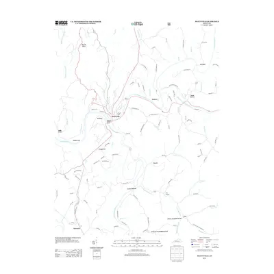
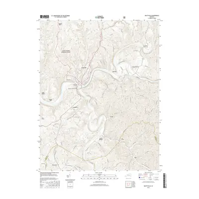
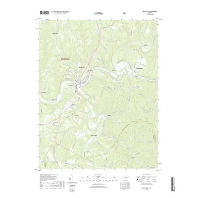
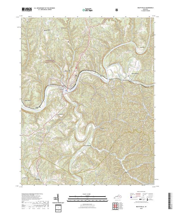
Loading map...1952 Map of Beattyville
USGS Topo · Published 1954About this map
Beattyville serves as the focal point of this 1952 survey, situated at the strategic confluence where the North Fork and South Fork join to form the Kentucky River. The landscape is defined by the sharp meanders of these river systems, with the Middle Fork also converging nearby. The Louisville and Nashville railroad tracks follow the river bends, connecting settlements like Maloney and St Helens to the regional economy.
Find a feature on this map
76 named features on this map. Tap any name to fly to it.
Don’t see what you’re looking for? This feature index may not catch every label — zoom into the map to look around manually.
Map Details
Date Portrayed1952
Date Published1954
PublisherU.S. Geological Survey
Map TypeTopographic
Scale1:24,000
Physical Dimensions22.5 x 27.4 inches
Editions of this 1952 Beattyville Map
This is the sole edition of this map. No revisions or reprints were ever made.
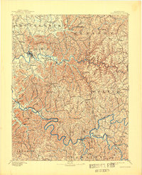
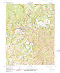
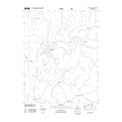
Historical Maps of Beattyville Through Time
8 maps found
Featured Locations
Source Details
SourceU.S. Geological Survey
CopyrightPublic Domain