
1953 Map of Sturgeon
USGS Topo · Published 1955About this map
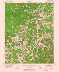
Cumberland National Forest dominates the western landscape of this 1950s Kentucky survey, where the ridges of Owsley, Lee, and Jackson counties meet. The region is defined by a dense network of mountain streams, including the winding Sturgeon Creek and its many tributaries like Little Sturgeon Creek and Rowlette Creek. The map documents a rural economy of small, creek-side settlements and scattered oil wells in the north near Standing Rock Ch.
Find a feature on this map
53 named features on this map. Tap any name to fly to it.
Don’t see what you’re looking for? This feature index may not catch every label — zoom into the map to look around manually.
Map Details
Editions of this 1953 Sturgeon Map
4 editions found
Other maps of this area

1891 · Manchester
USGS Topo · 1:125,000

1892 · Beattyville
USGS Topo · 1:125,000

1952 · Leighton
USGS Topo · 1:24,000

1952 · Beattyville
USGS Topo · 1:24,000

1952 · Heidelberg
USGS Topo · 1:24,000

1953 · Mc Kee
USGS Topo · 1:24,000

1953 · Oneida
USGS Topo · 1:24,000

1953 · Tyner
USGS Topo · 1:24,000

1953 · Booneville
USGS Topo · 1:24,000

1954 · Maulden
USGS Topo · 1:24,000