
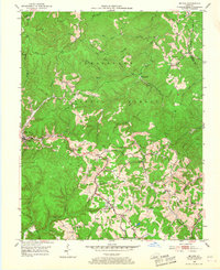
1953 Map of Mc Kee
USGS Topo · Published 1954About this map
Mc Kee serves as the focal point of this mid-century portrait of Jackson County, where the deeply dissected topography of the Cumberland Plateau dictates the layout of mountain communities. The landscape is defined by narrow ridges like Lime Kiln Ridge and an intricate drainage network including the War Fork and Middle Fork. This 1953 survey captures a transition in local industry, showing numerous Gas Wells and a Strip Mine alongside more traditional mountain landmarks.
Find a feature on this map
47 named features on this map. Tap any name to fly to it.
Don’t see what you’re looking for? This feature index may not catch every label — zoom into the map to look around manually.
Map Details
Editions of this 1953 Mc Kee Map
3 editions found
Other maps of this area

1891 · Manchester
USGS Topo · 1:125,000

1892 · Richmond
USGS Topo · 1:125,000

1892 · Beattyville
USGS Topo · 1:125,000

1893 · London
USGS Topo · 1:125,000

1897 · Richmond
USGS Topo · 1:125,000

1897 · London
USGS Topo · 1:125,000

1952 · Alcorn
USGS Topo · 1:24,000

1952 · Leighton
USGS Topo · 1:24,000

1952 · Heidelberg
USGS Topo · 1:24,000

1953 · Sandgap
USGS Topo · 1:24,000