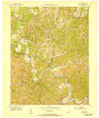
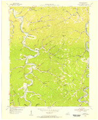
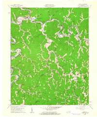
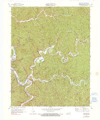
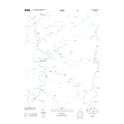
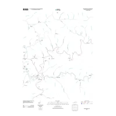
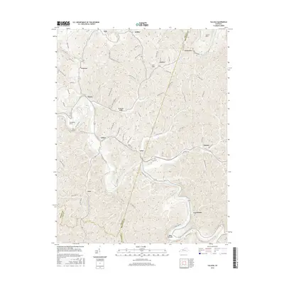
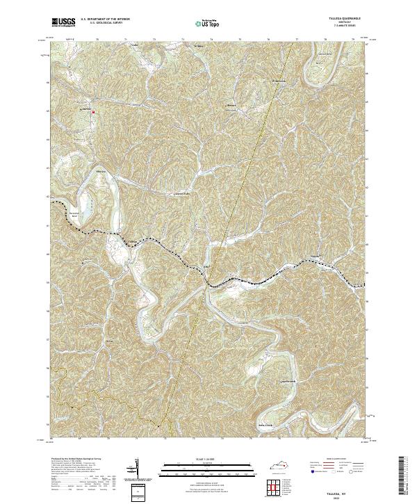
1952 Map of Tallega
USGS Topo · Published 1954About this map
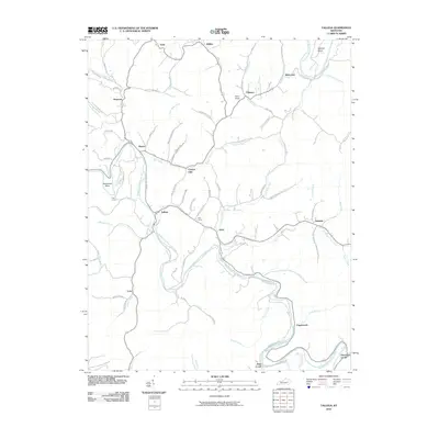
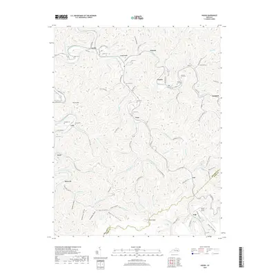
Middle Fork Kentucky River and the North Fork Kentucky River dominate this Breathitt County landscape, where the deeply dissected terrain dictated the placement of settlements and transport. The Louisville and Nashville railroad winds through the river valleys, serving established communities like Tallega and Athol at the Lee County border. This 1952 field-checked survey reveals a high density of rural institutions, including the Tallega Mission Sch, Glen Eden Community Center, and several family-named landmarks like Spencer Bend Ch. The mapping of remote schools such as Lynam Creek Sch and Mill Creek Sch underscores the isolation of these communities before modern road improvements. Notable terrain features like Bear Falls and Anvil Knob provide key navigational points for researchers tracing the historical geography of the Cumberland Plateau.
Find a feature on this map
52 named features on this map. Tap any name to fly to it.
Don’t see what you’re looking for? This feature index may not catch every label — zoom into the map to look around manually.
Map Details
Editions of this 1952 Tallega Map
This is the sole edition of this map. No revisions or reprints were ever made.
Historical Maps of Fillmore Through Time
48 maps found
1951 Guage
Breathitt County, KY
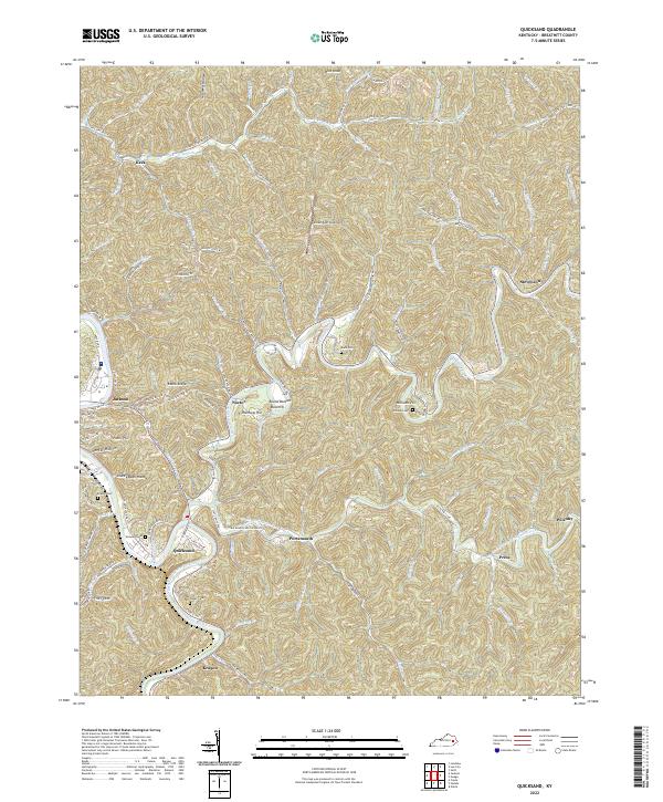
1951 Quicksand
Breathitt County, KY
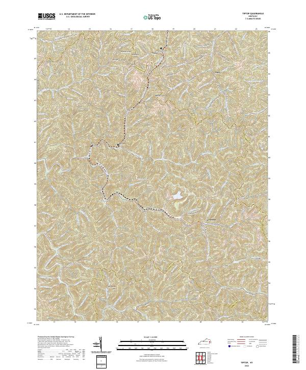
1951 Tiptop
Breathitt County, KY
1952 Tallega
Breathitt County, KY
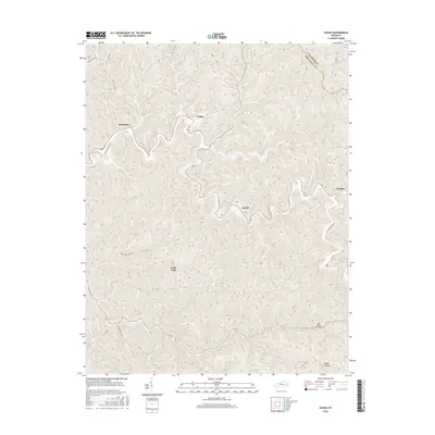
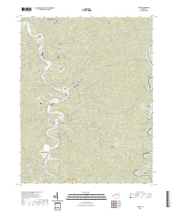
1954 Canoe
Breathitt County, KY
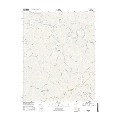
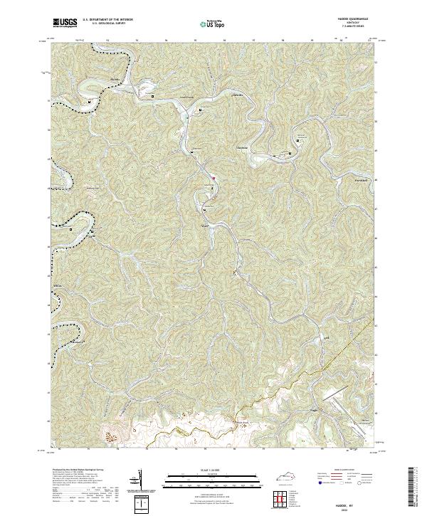
1954 Haddix
Breathitt County, KY
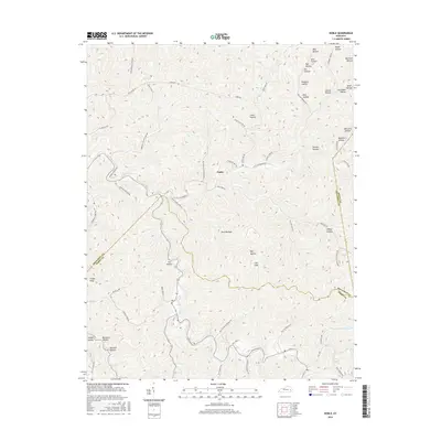
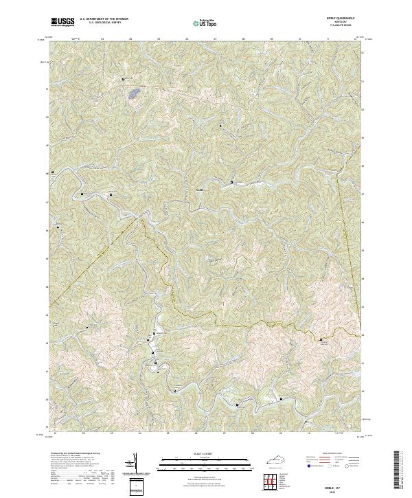
1954 Noble
Breathitt County, KY
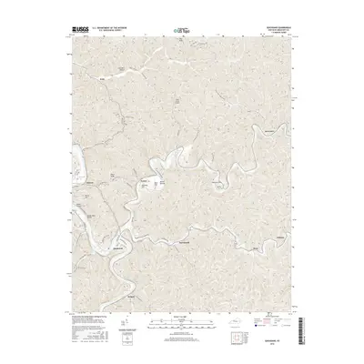
1961 Canoe
Breathitt County, KY
1961 Haddix
Breathitt County, KY
1961 Quicksand
Breathitt County, KY
1961 Tallega
Breathitt County, KY
1972 Haddix
Breathitt County, KY
1972 Quicksand
Breathitt County, KY
2010 Guage
Breathitt County, KY
2010 Haddix
Breathitt County, KY
2010 Noble
Breathitt County, KY
2010 Quicksand
Breathitt County, KY
2010 Tallega
Breathitt County, KY
2010 Tiptop
Breathitt County, KY
2011 Canoe
Breathitt County, KY
2013 Canoe
Breathitt County, KY
2013 Guage
Breathitt County, KY
2013 Haddix
Breathitt County, KY
2013 Noble
Breathitt County, KY
2013 Quicksand
Breathitt County, KY
2013 Tallega
Breathitt County, KY
2013 Tiptop
Breathitt County, KY
2016 Canoe
Breathitt County, KY
2016 Guage
Breathitt County, KY
2016 Haddix
Breathitt County, KY
2016 Noble
Breathitt County, KY
2016 Quicksand
Breathitt County, KY
2016 Tallega
Breathitt County, KY
2016 Tiptop
Breathitt County, KY
2019 Canoe
Breathitt County, KY
2019 Guage
Breathitt County, KY
2019 Haddix
Breathitt County, KY
2019 Noble
Breathitt County, KY
2019 Quicksand
Breathitt County, KY
2019 Tallega
Breathitt County, KY
2019 Tiptop
Breathitt County, KY
2022 Canoe
Breathitt County, KY
2022 Guage
Breathitt County, KY
2022 Haddix
Breathitt County, KY
2022 Noble
Breathitt County, KY
2022 Quicksand
Breathitt County, KY
2022 Tallega
Breathitt County, KY
2022 Tiptop
Breathitt County, KY