
1952 Map of Irvine
USGS Topo · Published 1954About this map
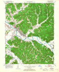
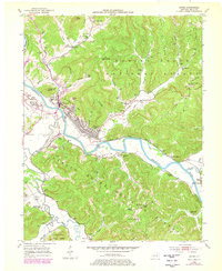
The Kentucky River winds sharply through Estill County, anchoring the twin railroad towns of Irvine and Ravenna during the early 1950s. This survey captures a landscape defined by its river-and-rail economy, where the Louisville and Nashville Railroad tracks parallel the water, serving the industrial hubs and the nearby Lock and Dam No 12. The surrounding terrain is a dense network of hollows and ridges within the Cumberland National Forest, dotted with numerous family-named cemeteries such as Marcum Cem, Powell Cem, and Noland Cem.
Find a feature on this map
95 named features on this map. Tap any name to fly to it.
Don’t see what you’re looking for? This feature index may not catch every label — zoom into the map to look around manually.
Map Details
Editions of this 1952 Irvine Map
3 editions found
Other maps of this area

1892 · Richmond
USGS Topo · 1:125,000

1892 · Beattyville
USGS Topo · 1:125,000

1897 · Richmond
USGS Topo · 1:125,000

1952 · Alcorn
USGS Topo · 1:24,000

1952 · Leighton
USGS Topo · 1:24,000

1952 · Palmer
USGS Topo · 1:24,000

1952 · Clay City
USGS Topo · 1:24,000

1952 · Stanton
USGS Topo · 1:24,000

1952 · Cobhill
USGS Topo · 1:24,000

1952 · Heidelberg
USGS Topo · 1:24,000