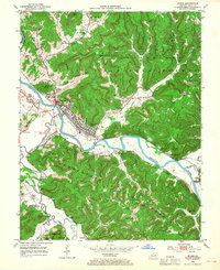
1952 Map of Irvine
USGS Topo · Published 1968About this map
The Kentucky River carves a winding path through this mid-century portrait of Estill County, anchoring a concentrated rail and industrial corridor. At the heart of the landscape, the twin rail towns of Irvine and Ravenna serve as central hubs for the Louisville and Nashville railroad, which parallels the riverbank past oil wells and storage infrastructure. Engineering of the waterway is evident at Lock and Dam No 12, a vital point for managing the river's flow through the deeply dissected terrain of the Cumberland National Forest.
Find a feature on this map
73 named features on this map. Tap any name to fly to it.
Don’t see what you’re looking for? This feature index may not catch every label — zoom into the map to look around manually.
Map Details
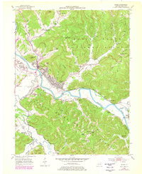
Editions of this 1952 Irvine Map
3 editions found

Other maps of this area

1892 · Richmond
USGS Topo · 1:125,000

1892 · Beattyville
USGS Topo · 1:125,000

1897 · Richmond
USGS Topo · 1:125,000

1952 · Alcorn
USGS Topo · 1:24,000

1952 · Leighton
USGS Topo · 1:24,000

1952 · Palmer
USGS Topo · 1:24,000

1952 · Clay City
USGS Topo · 1:24,000

1952 · Stanton
USGS Topo · 1:24,000

1952 · Cobhill
USGS Topo · 1:24,000

1952 · Heidelberg
USGS Topo · 1:24,000