Loading...
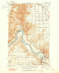
Loading map...1944 Map of Clayton
USGS Topo · Published 1951About this map
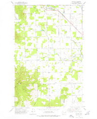
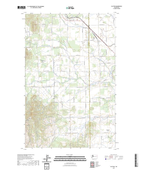
Long Lake and the Spokane River anchor this mid-century survey, defining the rugged border between Stevens and Spokane counties. The landscape transitions from the upland heights of Scoop Mtn and Five Sisters down to the fertile agricultural flats of Four Mound Prairie and Rose Prairie. This era shows a well-developed network of rural infrastructure, including the Great Northern railroad corridor through Clayton and numerous local landmarks such as Happy Home Ch and the Williams Valley Cem.
Find a feature on this map
54 named features on this map. Tap any name to fly to it.
Don’t see what you’re looking for? This feature index may not catch every label — zoom into the map to look around manually.
Map Details
Date Portrayed1944
Date Published1951
PublisherU.S. Geological Survey
Map TypeTopographic
Scale1:62,500
Physical Dimensions17 x 20.9 inches
Editions of this 1944 Clayton Map
2 editions found

Historical Maps of Spokane Through Time
8 maps found

Featured Locations
Source Details
SourceU.S. Geological Survey
CopyrightPublic Domain