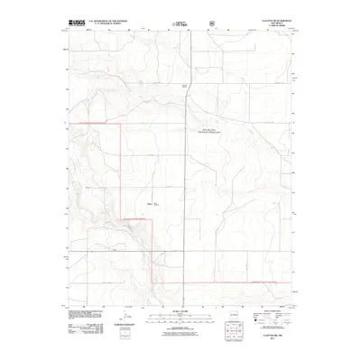
2011 Map of Clayton SW
USGS Topo · Published 2011About this map
Rita Blanca National Grassland dominates this high-plains landscape in Union County, where the topography is defined by the winding course of Carrizo Creek and its associated breaks. The map documents a sparsely populated ranching region punctuated by small localities such as Bates, Webster, and Walker. These sites, along with utilitarian landmarks like the Atkinson Cattle Pit and Bates Windmill, reflect the long-standing livestock economy of the New Mexico panhandle. Transportation in this area relies on a grid of rural routes including Campsey Ln and Hwy Sr 562, which connect isolated homesteads and grazing lands across the grassland's protected acreage.
Find a feature on this map
16 named features on this map. Tap any name to fly to it.
Don’t see what you’re looking for? This feature index may not catch every label — zoom into the map to look around manually.
Map Details
Editions of this 2011 Clayton SW Map
This is the sole edition of this map. No revisions or reprints were ever made.
Other maps of this area

1954 · Dalhart
USGS Topo · 1:250,000

1958 · Dalhart
USGS Topo · 1:250,000

1962 · Dalhart
USGS Topo · 1:250,000

1966 · Royce
USGS Topo · 1:24,000

1966 · Clapham
USGS Topo · 1:24,000

1966 · Sand Hill
USGS Topo · 1:24,000

1970 · Texline South
USGS Topo · 1:24,000

1970 · Clayton
USGS Topo · 1:24,000

1970 · Clayton SW
USGS Topo · 1:24,000

1970 · Texline North
USGS Topo · 1:24,000