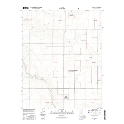
2017 Map of Clayton SW
USGS Topo · Published 2017About this map
Kiowa National Grassland dominates this high plains landscape in Union County, showing a complex pattern of protected federal lands and private holdings. The terrain is defined by the ephemeral drainage of Sand Draw and the winding course of Carrizo Creek to the southwest, which provides one of the few distinct topographic breaks in the region. Local infrastructure follows a rigid section-line grid typical of the American West, with corridors such as Toney Rd and Campsey Ln providing access to remote ranching outposts. The survey identifies the location of Plainview in the southeastern quadrant along Hwy Sr 562, reflecting the sparse but enduring settlement patterns of the northeastern New Mexico grasslands. Researchers can trace the Public Land Survey System boundaries, including t24n r35e, which organize this territory into a functional grid for grazing and resource management.
Find a feature on this map
19 named features on this map. Tap any name to fly to it.
Don’t see what you’re looking for? This feature index may not catch every label — zoom into the map to look around manually.
Map Details
Editions of this 2017 Clayton SW Map
This is the sole edition of this map. No revisions or reprints were ever made.
Other maps of this area

1954 · Dalhart
USGS Topo · 1:250,000

1958 · Dalhart
USGS Topo · 1:250,000

1962 · Dalhart
USGS Topo · 1:250,000

1966 · Royce
USGS Topo · 1:24,000

1966 · Clapham
USGS Topo · 1:24,000

1966 · Sand Hill
USGS Topo · 1:24,000

1970 · Texline South
USGS Topo · 1:24,000

1970 · Clayton
USGS Topo · 1:24,000

1970 · Clayton SW
USGS Topo · 1:24,000

1970 · Texline North
USGS Topo · 1:24,000