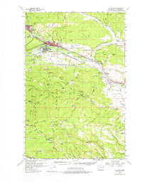
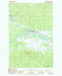
1984 Map of Cle Elum
USGS Topo · Published 1985About this map
Coal mining history and transport networks define this section of the Cascade foothills during the mid-1980s. The industrial character of the region is evident in the cluster of historical workings such as No 9 Mine, No 5 Mine, and No 7 Mine near Roslyn, while the Rothlisberger Mine sits further south. The Yakima River serves as the central geographic axis, flanked by the residential and commercial hubs of Cle Elum and South Cle Elum. Infrastructure like the Burlington Northern railroad and the Cle Elum Municipal Airport highlights the area's role as a transit corridor between the mountains and the plains.
Find a feature on this map
34 named features on this map. Tap any name to fly to it.
Don’t see what you’re looking for? This feature index may not catch every label — zoom into the map to look around manually.
Map Details
Editions of this 1984 Cle Elum Map
2 editions found
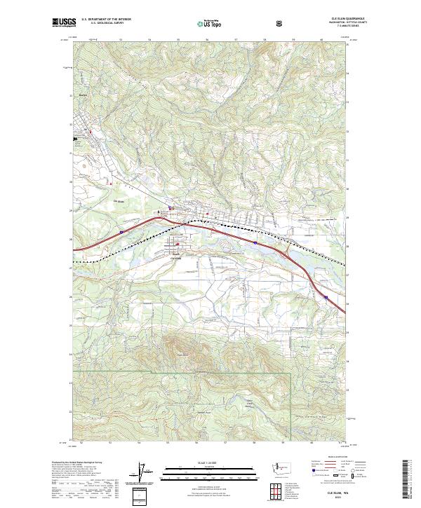
Historical Maps of Cle Elum Through Time
4 maps found