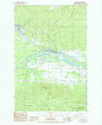
1984 Map of Cle Elum
USGS Topo · Published 1985About this map
The Yakima River valley serves as the industrial and transport corridor for Central Washington in this mid-1980s look at a legendary coal mining district. The twin settlements of Roslyn and Cle Elum are anchored by the Burlington Northern railroad, which follows the river's path alongside the Main Canal. The northern slopes of Cle Elum Ridge are marked by several historical mining operations, including No 5 Mine and No 9 Mine, reflecting the area's extraction-based economy. To the south, the landscape rises sharply toward Peoh Point and the South Cle Elum Ridge, transitioning into the protected timberlands of the Wenatchee National Forest. This survey captures the region just as it maintained its role as a critical hub for water management, aviation at the Cle Elum Municipal Airport, and education at the Cle Elum High Sch.
Find a feature on this map
45 named features on this map. Tap any name to fly to it.
Don’t see what you’re looking for? This feature index may not catch every label — zoom into the map to look around manually.
Map Details
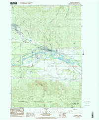
Editions of this 1984 Cle Elum Map
2 editions found
Other maps of this area

1897 · Mount Stuart
USGS Topo · 1:125,000

1901 · Snoqualmie Pass
USGS Topo · 1:125,000

1902 · Mount Stuart
USGS Topo · 1:125,000

1903 · Snoqualmie
USGS Topo · 1:125,000

1957 · Wenatchee
USGS Topo · 1:250,000

1958 · Cle Elum
USGS Topo · 1:62,500

1961 · Mount Stuart
USGS Topo · 1:62,500

1961 · Easton
USGS Topo · 1:62,500

1961 · Kachess Lake
USGS Topo · 1:62,500

1975 · Snoqualmie Pass
USGS Topo · 1:100,000