
1958 Map of Cle Elum
USGS Topo · Published 1960About this map
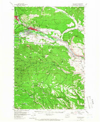
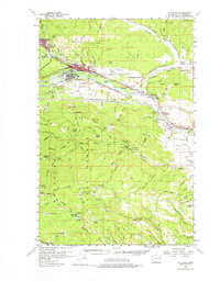
The industrial and transportation geography of Kittitas County is defined here by the convergence of major rail lines and the upper Yakima coal fields in the late 1950s. Cle Elum and Roslyn serve as the primary anchors of this landscape, with the latter surrounded by numerous active or recently worked coal operations including No 3 Mine, No 9 Mine, and the Independent Mine. The rail network is particularly dense, showing the Chicago Milwaukee St Paul and Pacific and the Northern Pacific winding along the Yakima River through South Cle Elum. Beyond the valley floor, the map details the vast expanses of the Wenatchee National Forest, where topography rises toward Cle Elum Ridge and Frost Mountain. This survey records the region just as the Interstate highway era began to reshape the corridor through U.S. 10, while traditional irrigation systems like the Cascade Canal and West Side Canal continued to manage the waters of the Teanaway River.
Find a feature on this map
78 named features on this map. Tap any name to fly to it.
Don’t see what you’re looking for? This feature index may not catch every label — zoom into the map to look around manually.
Map Details
Editions of this 1958 Cle Elum Map
3 editions found
Other maps of this area

1897 · Mount Stuart
USGS Topo · 1:125,000

1899 · Ellensburg
USGS Topo · 1:125,000

1901 · Ellensburg
USGS Topo · 1:125,000

1901 · Snoqualmie Pass
USGS Topo · 1:125,000

1902 · Mount Aix
USGS Topo · 1:125,000

1902 · Mount Stuart
USGS Topo · 1:125,000

1903 · Snoqualmie
USGS Topo · 1:125,000

1904 · Mt Aix
USGS Topo · 1:125,000

1950 · Yakima
USGS Topo · 1:250,000

1957 · Wenatchee
USGS Topo · 1:250,000