Loading...
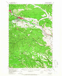
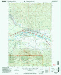
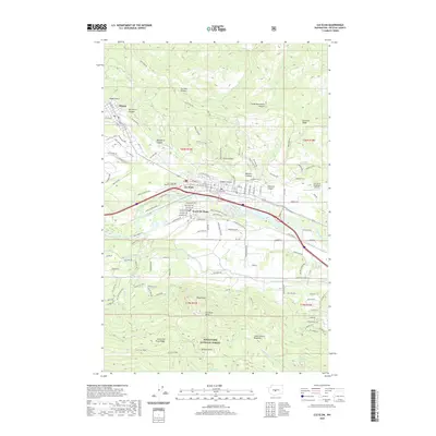
Loading map...1958 Map of Cle Elum
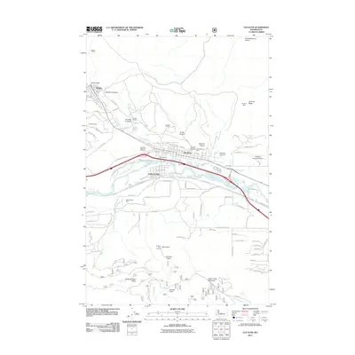
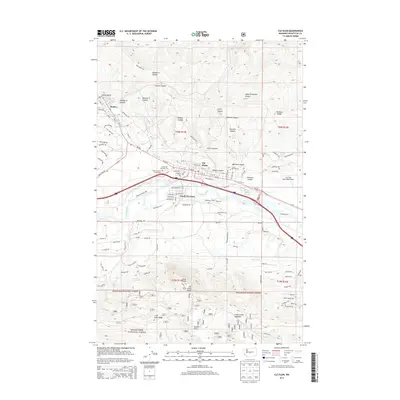
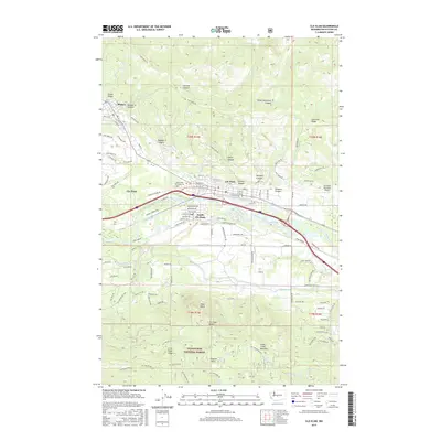
USGS Topo · Published 1966About this map
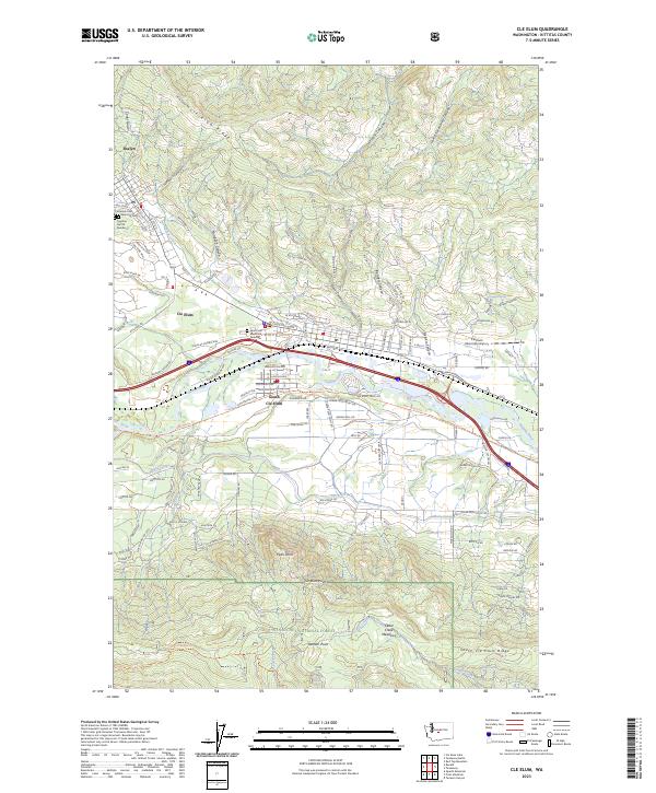
Coal mining and rail transport define the upper Yakima Valley corridor on this mid-century survey. The industrial hub of Roslyn sits adjacent to several active operations, including the No 9 Mine and No 7 Mine, while the Northern Pacific Railroad and the Milwaukee Road parallel the river through Cle Elum and South Cle Elum. This dual-rail infrastructure highlights the region's importance as a mountain crossing and resource extraction center.
Find a feature on this map
70 named features on this map. Tap any name to fly to it.
Don’t see what you’re looking for? This feature index may not catch every label — zoom into the map to look around manually.
Map Details
Date Portrayed1958
Date Published1966
PublisherU.S. Geological Survey
Map TypeTopographic
Scale1:62,500
Physical Dimensions17.1 x 20.9 inches
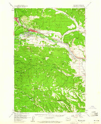
Editions of this 1958 Cle Elum Map
3 editions found
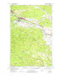
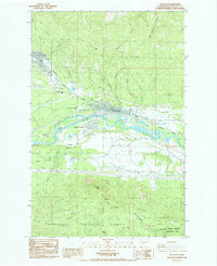
Historical Maps of Cle Elum Through Time
8 maps found
Featured Locations
Source Details
SourceU.S. Geological Survey
CopyrightPublic Domain