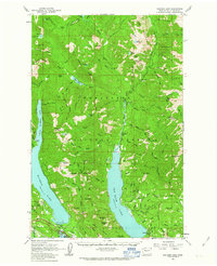
1961 Map of Kachess Lake
USGS Topo · Published 1963About this map
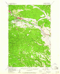
Kachess Lake and Cle Elum Lake dominate this mountainous section of the Wenatchee National Forest during the early 1960s. The settlement of Easton serves as a local hub near the southern edge, situated near Lake Easton State Park and the Easton Airstrip. The landscape is defined by its water management and resource extraction, evidenced by the Kachess Dam and scattered operations like the Elsnor Mine and a Strip Mine near Lakedale.
Find a feature on this map
96 named features on this map. Tap any name to fly to it.
Don’t see what you’re looking for? This feature index may not catch every label — zoom into the map to look around manually.
Map Details
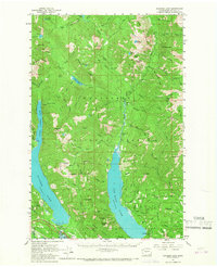
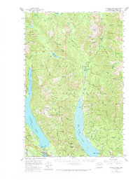
Editions of this 1961 Kachess Lake Map
3 editions found
Other maps of this area

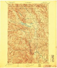
1897 · Mount Stuart
USGS Topo · 1:125,000

1901 · Chiwaukum
USGS Topo · 1:125,000

1901 · Snoqualmie Pass
USGS Topo · 1:125,000

1902 · Skykomish
USGS Topo · 1:125,000

1902 · Mount Stuart
USGS Topo · 1:125,000

1903 · Snoqualmie
USGS Topo · 1:125,000
1904 · Chiwaukum
USGS Topo · 1:125,000

1905 · Skykomish
USGS Topo · 1:125,000

1957 · Wenatchee
USGS Topo · 1:250,000
1958 · Cle Elum
USGS Topo · 1:62,500