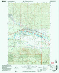
2003 Map of Cle Elum
USGS Topo · Published 2006About this map
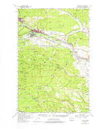
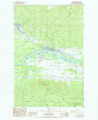
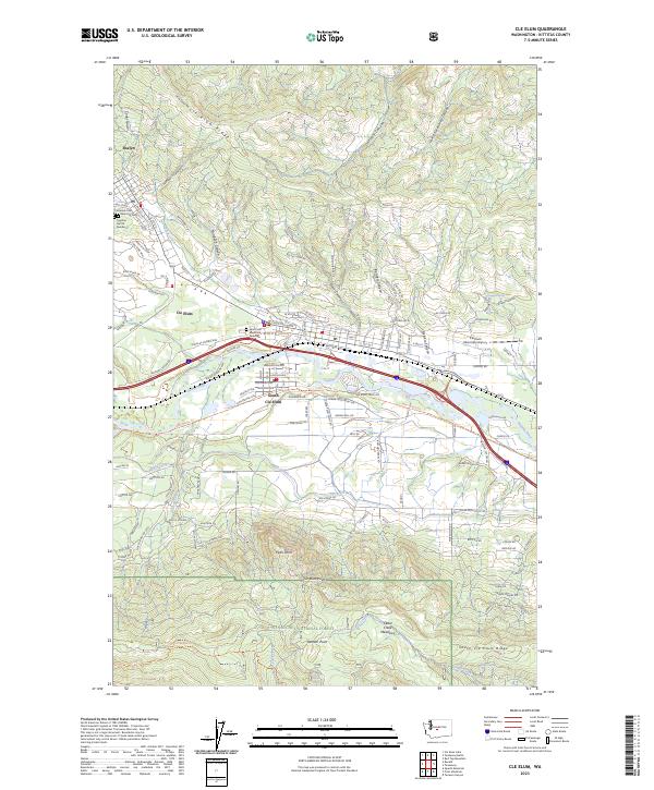
The mountain towns of Roslyn and Cle Elum sit at the foot of Cle Elum Ridge, defined by a landscape deeply shaped by resource extraction and transportation. Numerous open pit mines and specific sites like No. 5 Mine and No. 9 Mine pock the hillsides, documenting the region's industrial heritage. The Yakima River flows through the valley, flanked by South Cle Elum and the Burlington Northern Santa Fe Railroad, while The Mountains to Sound Greenway traces a modern corridor through this historic mining district.
Find a feature on this map
42 named features on this map. Tap any name to fly to it.
Don’t see what you’re looking for? This feature index may not catch every label — zoom into the map to look around manually.
Map Details
Editions of this 2003 Cle Elum Map
This is the sole edition of this map. No revisions or reprints were ever made.
Historical Maps of Cle Elum Through Time
4 maps found