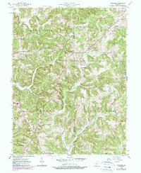
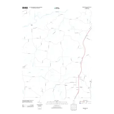
2022 Map of Clear Creek
USGS Topo · Published 2022About this map
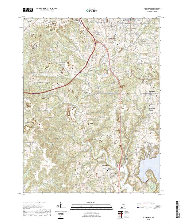
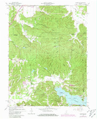
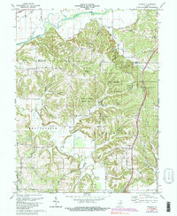
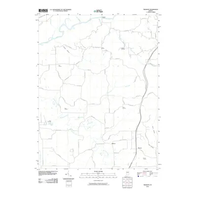
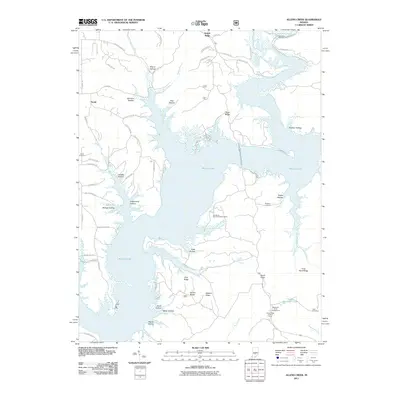
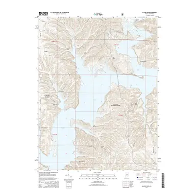
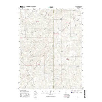
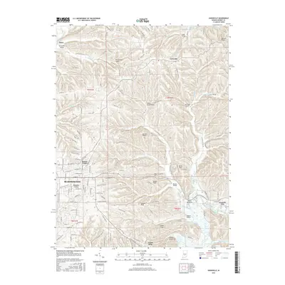
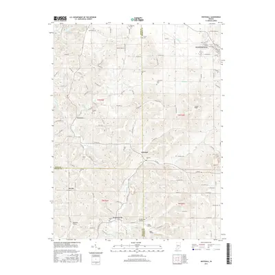
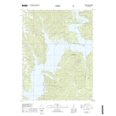
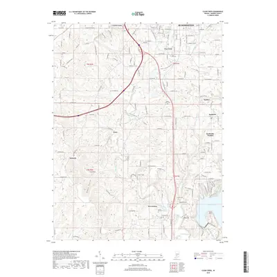
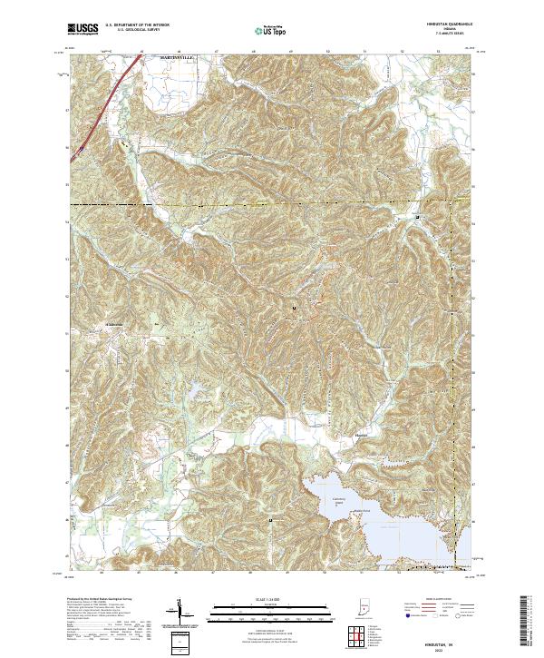
Monroe Lake defines the southeastern corner of this landscape, its shoreline reaching toward Depot Hill and the small settlement of Harrodsburg. This 2022 survey captures a southern Monroe County corridor characterized by the historic path of Clear Creek and the Inrd rail line, which together shaped the development of communities like Smithville, Sanders, and the industrial site at Victor. The topography reveals a complex network of ridges and drainages including Bowen Hollow and the steep elevation at Cedar Cliffs. For family historians, the map identifies several local landmarks such as Clear Creek Cem, Clover Hill Cem, and Mount Salem Cem, which serve as permanent anchors for the lineage of these rural townships. The map documents the persistent identity of crossroad locales like Kirksville and Crum Point even as the outskirts of Bloomington expand from the north.
Find a feature on this map
142 named features on this map. Tap any name to fly to it.
Don’t see what you’re looking for? This feature index may not catch every label — zoom into the map to look around manually.
Map Details
Editions of this 2022 Clear Creek Map
This is the sole edition of this map. No revisions or reprints were ever made.
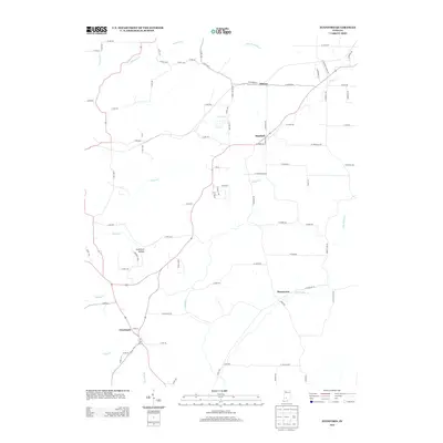
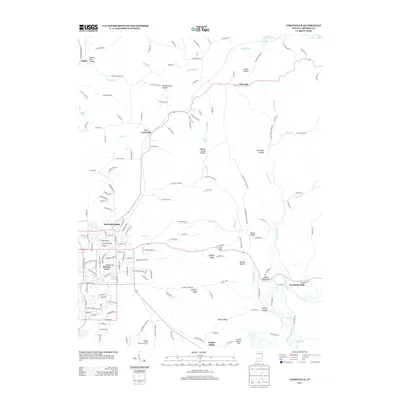
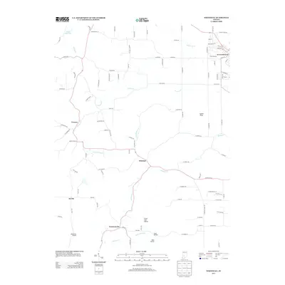
Historical Maps of Bloomington Through Time
54 maps found
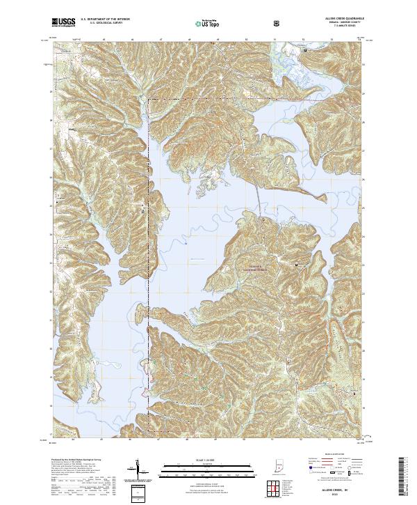
1947 Allens Creek
Monroe County, IN
1947 Unionville
Monroe County, IN
1948 Hindustan
Monroe County, IN

1956 Clear Creek
Monroe County, IN
1956 Stanford
Monroe County, IN
1957 Allens Creek
Monroe County, IN
1957 Modesto
Monroe County, IN

1957 Unionville
Monroe County, IN
1957 Whitehall
Monroe County, IN
1961 Hindustan
Monroe County, IN
1965 Clear Creek
Monroe County, IN
1966 Allens Creek
Monroe County, IN
1966 Unionville
Monroe County, IN
1970 Modesto
Monroe County, IN

1998 Hindustan
Monroe County, IN

1998 Modesto
Monroe County, IN

1998 Unionville
Monroe County, IN
1998 Whitehall
Monroe County, IN

1999 Clear Creek
Monroe County, IN
2010 Clear Creek
Monroe County, IN
2010 Hindustan
Monroe County, IN
2010 Modesto
Monroe County, IN
2010 Stanford
Monroe County, IN
2010 Unionville
Monroe County, IN
2010 Whitehall
Monroe County, IN
2011 Allens Creek
Monroe County, IN
2013 Allens Creek
Monroe County, IN
2013 Clear Creek
Monroe County, IN
2013 Hindustan
Monroe County, IN
2013 Modesto
Monroe County, IN
2013 Stanford
Monroe County, IN
2013 Unionville
Monroe County, IN
2013 Whitehall
Monroe County, IN
2016 Allens Creek
Monroe County, IN
2016 Clear Creek
Monroe County, IN
2016 Hindustan
Monroe County, IN
2016 Modesto
Monroe County, IN
2016 Stanford
Monroe County, IN
2016 Unionville
Monroe County, IN
2016 Whitehall
Monroe County, IN
2019 Allens Creek
Monroe County, IN
2019 Clear Creek
Monroe County, IN
2019 Hindustan
Monroe County, IN
2019 Modesto
Monroe County, IN
2019 Stanford
Monroe County, IN
2019 Unionville
Monroe County, IN
2019 Whitehall
Monroe County, IN
2022 Allens Creek
Monroe County, IN
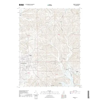
2022 Clear Creek
Monroe County, IN
2022 Hindustan
Monroe County, IN

2022 Modesto
Monroe County, IN
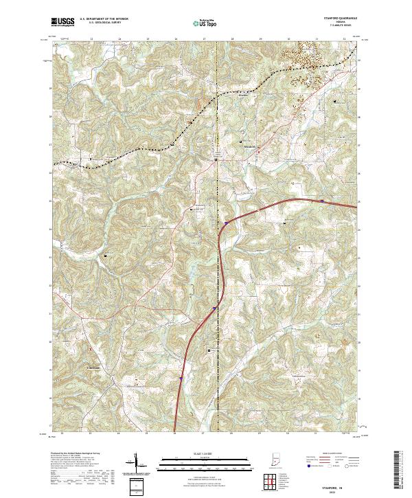
2022 Stanford
Monroe County, IN
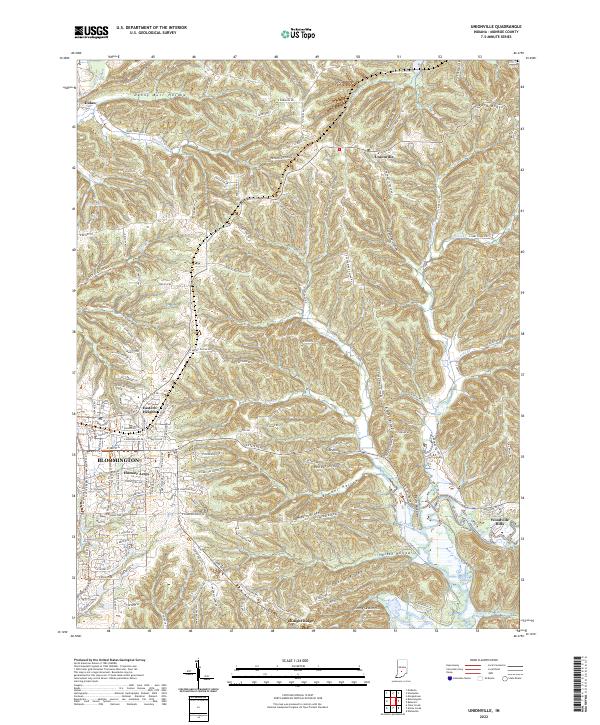
2022 Unionville
Monroe County, IN
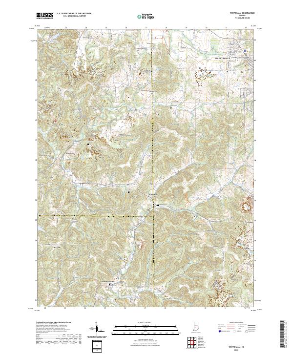
2022 Whitehall
Monroe County, IN